Kotzebue geodata
Kotzebue (Alaska) is a seat of a second-order administrative division; located in United States in America/Nome (GMT-8) time zone. With population of 3,277 people, there are 9187 cities with bigger population in this country. Compared to other cities in United States, 100% of cities are located further ↓South; 99.9% of cities are located further →East and 99.6% of cities have higher elevation than Kotzebue. Note1


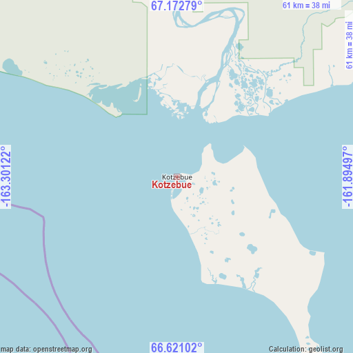
Kotzebue GPS coordinates[2]
66° 53' 54.456" North, 162° 35' 53.124" West
| Map corner | latitude | longitude |
|---|---|---|
| Upper-left | 67.17279°, | -163.30122° |
| Center: | 66.89846°, | -162.59809° |
| Lower-right: | 66.62102°, | -161.89497° |
| Map W x H: | 61.4×61.3 km | = 38.2×38.1mi |
| max Lat: | 71.29058° ⇑0% North |
| Kotzebue: | 66.89846° |
| min Lat: | ⇓100% South 19.06759° |
| min Long | Kotzebue | max Long |
| -171.73463° | -162.59809° | -66.98998° |
| W 0.1%⇐ | ⇒99.9% E |
Elevation
Elevation of Kotzebue is 1 m = 3 ft, and this is 293.8 m = 964 ft below average elevation for this country.
| Max E: |
3189 m = 10463 ft | 99.6% |
| Avg. | 294.8 m = 967 ft | |
| Kotzebue | 1 m = 3 ft | |
Min E: |
-60 m = -197 ft | 0.4% |
See also: United States elevation on elevation.city.
Geographical zone
Kotzebue is located in North Frigid zone (between North Pole and Arctic Circle). Distance of this North polar circle is 37.2 km =23.1 mi to South.| Distance of | km | miles | from Kotzebue |
|---|---|---|---|
| North Pole | 2568.7 | 1596.1 | to North |
| Arctic Circle | 37.2 | 23.1 | to South |
| Tropic Cancer | 4832.5 | 3002.8 | to South |
| Equator | 7438.4 | 4622 | to South |


Nearby cities:
8 places around Kotzebue: (largest is in red/bold)
• Kotlik
432 km =268.4 mi,  185°
185°
• Noatak
76.4 km =47.5 mi,  348°
348°
• Nome
295.8 km =183.8 mi,  205°
205°
• Noorvik
68.7 km =42.7 mi,  95°
95°
• Selawik
118.3 km =73.5 mi,  106°
106°
• Shishmaref
169.3 km =105.2 mi,  245°
245°
• Stebbins
375.9 km =233.6 mi,  177°
177°
• Unalakleet
346.6 km =215.4 mi,  166°
166°
Sources, notices
• [Note1] Compared only with cities in United States existing in our database
• [Src1] Map data: © OpenStreetMap contributors (CC-BY-SA)
• [Src2] Other city data from geonames.org with taken over terms of usage.
• [Src3] Geographical zone / Annual Mean Temperature by Robert A. Rohde @ Wikipedia
