Westbrook Center geodata
Westbrook Center (Connecticut) is a populated place; located in United States in America/New_York (GMT-4) time zone. With population of 2,413 people, there are 10814 cities with bigger population in this country. Compared to other cities in United States, 68.6% of cities are located further ↓South; 95% of cities are located further ←West and 99.1% of cities have higher elevation than Westbrook Center. Note1
Administrative division(s):
- Level 1: Connecticut
- Level 2: Middlesex County
- Level 3: Town of Westbrook


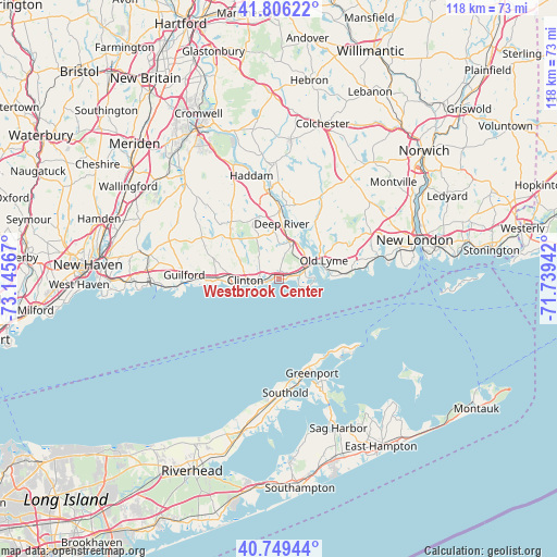
Westbrook Center GPS coordinates[2]
41° 16' 47.892" North, 72° 26' 33.144" West
| Map corner | latitude | longitude |
|---|---|---|
| Upper-left | 41.80622°, | -73.14567° |
| Center: | 41.27997°, | -72.44254° |
| Lower-right: | 40.74944°, | -71.73942° |
| Map W x H: | 117.5×117.5 km | = 73×73mi |
| max Lat: | 71.29058° ⇑31.4% North |
| Westbrook Center: | 41.27997° |
| min Lat: | ⇓68.6% South 19.06759° |
| min Long | Westbrook Cente | max Long |
| -171.73463° | -72.44254° | -66.98998° |
| W 95%⇐ | ⇒5% E |
Elevation
Elevation of Westbrook Center is 3 m = 10 ft, and this is 291.8 m = 957 ft below average elevation for this country.
| Max E: |
3189 m = 10463 ft | 99.1% |
| Avg. | 294.8 m = 967 ft | |
| Westbrook Center | 3 m = 10 ft | |
Min E: |
-60 m = -197 ft | 0.9% |
See also: United States elevation on elevation.city.
Geographical zone
Westbrook Center is located in North temperate zone (between Tropic of Cancer and the Arctic Circle). Distance of this Northern Tropic circle is 1984 km =1232.8 mi to South.| Distance of | km | miles | from Westbrook Center |
|---|---|---|---|
| North Pole | 5417.2 | 3366.1 | to North |
| Arctic Circle | 2811.3 | 1746.9 | to North |
| Tropic Cancer | 1984 | 1232.8 | to South |
| Equator | 4589.9 | 2852 | to South |


Nearby cities:
15 places around Westbrook Center: (largest is in red/bold)
• Chester Center
13.5 km =8.4 mi,  356°
356°
• Clinton
7.1 km =4.4 mi,  268°
268°
• Deep River Center
11.4 km =7.1 mi,  1°
1°
• East Haddam
19.3 km =12 mi, 355°
• East Marion
19 km =11.8 mi,  153°
153°
• Essex Village
9.4 km =5.8 mi,  27°
27°
• Greenport West
20.7 km =12.9 mi,  163°
163°
• Guilford
20 km =12.4 mi, 272°
• Guilford Center
19.5 km =12.1 mi, 270°
• Madison
13 km =8.1 mi, 269°
• Madison Center
13.2 km =8.2 mi, 269°
• Old Saybrook
5.7 km =3.5 mi,  76°
76°
• Old Saybrook Center
6.6 km =4.1 mi, 78°
• Orient
19.5 km =12.1 mi,  143°
143°
• Saybrook Manor
3.7 km =2.3 mi, 80°
Sources, notices
• [Note1] Compared only with cities in United States existing in our database
• [Src1] Map data: © OpenStreetMap contributors (CC-BY-SA)
• [Src2] Other city data from geonames.org with taken over terms of usage.
• [Src3] Geographical zone / Annual Mean Temperature by Robert A. Rohde @ Wikipedia
