Hoàng Sa geodata
Hoàng Sa (Da Nang) is a seat of a second-order administrative division; located in Vietnam in Asia/Ho_Chi_Minh (GMT+7) time zone. In our database, there are 94 cities with bigger population. Compared to other cities in Vietnam, 50.2% of cities are located further ↑North; 100% of cities are located further ←West and 65.4% of cities have higher elevation than Hoàng Sa. Note1


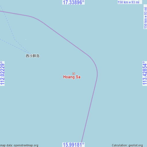
Hoàng Sa GPS coordinates[2]
16° 39' 59.652" North, 112° 43' 31.476" East
| Map corner | latitude | longitude |
|---|---|---|
| Upper-left | 17.33896°, | 112.02229° |
| Center: | 16.66657°, | 112.72541° |
| Lower-right: | 15.99181°, | 113.42854° |
| Map W x H: | 149.8×149.8 km | = 93.1×93.1mi |
| max Lat: | 23.27841° ⇑50.2% North |
| Hoàng Sa: | 16.66657° |
| min Lat: | ⇓49.8% South 8.65724° |
| min Long | Hoàng Sa | max Long |
| 102.4579° | 112.72541° | 112.72541° |
| W 100%⇐ | ⇒0% E |
Elevation
Elevation of Hoàng Sa is 9 m = 30 ft, and this is 120.5 m = 395 ft below average elevation for this country.
| Max E: |
1592 m = 5223 ft | 65.4% |
| Avg. | 129.5 m = 425 ft | |
| Hoàng Sa | 9 m = 30 ft | |
Min E: |
-1 m = -3 ft | 34.6% |
See also: Vietnam elevation on elevation.city.
Geographical zone
Hoàng Sa is located in North Torrid zone (between Equator and Tropic of Cancer). Distance of this Northern Tropic circle is 752.8 km =467.8 mi to North.| Distance of | km | miles | from Hoàng Sa |
|---|---|---|---|
| North Pole | 8153.9 | 5066.6 | to North |
| Arctic Circle | 5548 | 3447.4 | to North |
| Tropic Cancer | 752.8 | 467.8 | to North |
| Equator | 1853.1 | 1151.5 | to South |


 249°
249°Sources, notices
• [Note1] Compared only with cities in Vietnam existing in our database
• [Src1] Map data: © OpenStreetMap contributors (CC-BY-SA)
• [Src2] Other city data from geonames.org with taken over terms of usage.
• [Src3] Geographical zone / Annual Mean Temperature by Robert A. Rohde @ Wikipedia
