Saratamata geodata
Saratamata (Penama) is a seat of a first-order administrative division; located in Vanuatu in Pacific/Efate (GMT+11) time zone. In our database, there are 7 cities with bigger population. Compared to other cities in Vanuatu, 71.4% of cities are located further ↓South; 71.4% of cities are located further ←West and 100% of cities have lower elevation than Saratamata. Note1


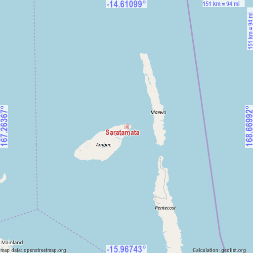
Saratamata GPS coordinates[2]
15° 17' 25.116" South, 167° 58' 0.444" East
| Map corner | latitude | longitude |
|---|---|---|
| Upper-left | -14.61099°, | 167.26367° |
| Center: | -15.29031°, | 167.96679° |
| Lower-right: | -15.96743°, | 168.66992° |
| Map W x H: | 150.8×150.8 km | = 93.7×93.7mi |
| max Lat: | -13.87611° ⇑28.6% North |
| Saratamata: | -15.29031° |
| min Lat: | ⇓71.4% South -19.54167° |
| min Long | Saratamata | max Long |
| 167.07265° | 167.96679° | 169.28167° |
| W 71.4%⇐ | ⇒28.6% E |
Elevation
Elevation of Saratamata is 150 m = 492 ft, and this is 110.6 m = 363 ft above average elevation for this country.
| Max E: |
150 m = 492 ft | 0% |
| Saratamata | 150 m 492 ft | |
| Avg. | 39.4 m = 129 ft | |
Min E: |
1 m = 3 ft | 100% |
See also: Vanuatu elevation on elevation.city.
Geographical zone
Saratamata is located in South Torrid zone (between Equator and Tropic of Capricorn). Distance of this Southern Tropic circle is 905.8 km =562.8 mi to South.| Distance of | km | miles | from Saratamata |
|---|---|---|---|
| Equator | 1700.1 | 1056.4 | to North |
| Tropic Capricorn | 905.8 | 562.8 | to South |
| Antarctic Circle | 5701.1 | 3542.5 | to South |
| South Pole | 8306.9 | 5161.7 | to South |


Nearby cities:
6 places around Saratamata: (largest is in red/bold)
• Lakatoro
107.6 km =66.9 mi,  213°
213°
• Luganville
89.9 km =55.9 mi,  253°
253°
• Norsup
105.6 km =65.6 mi,  215°
215°
• Port-Olry
99.9 km =62.1 mi,  286°
286°
• Port-Vila
274.5 km =170.6 mi,  172°
172°
• Sola
163.5 km =101.6 mi,  344°
344°
Sources, notices
• [Note1] Compared only with cities in Vanuatu existing in our database
• [Src1] Map data: © OpenStreetMap contributors (CC-BY-SA)
• [Src2] Other city data from geonames.org with taken over terms of usage.
• [Src3] Geographical zone / Annual Mean Temperature by Robert A. Rohde @ Wikipedia
