Gllogjan geodata
Gllogjan (Gjakova) is a populated place; located in Kosovo in Europe/Belgrade (GMT+2) time zone. With population of 2,000 people, there are 40 cities with bigger population in this country. Compared to other cities in Kosovo, 60% of cities are located further ↑North; 72.3% of cities are located further →East and 64.6% of cities have higher elevation than Gllogjan. Note1


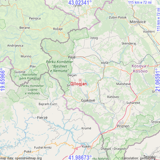
Gllogjan GPS coordinates[2]
42° 30' 25.992" North, 20° 21' 46.008" East
| Map corner | latitude | longitude |
|---|---|---|
| Upper-left | 43.02341°, | 19.65966° |
| Center: | 42.50722°, | 20.36278° |
| Lower-right: | 41.98673°, | 21.06591° |
| Map W x H: | 115.3×115.3 km | = 71.6×71.6mi |
| max Lat: | 43.10389° ⇑60% North |
| Gllogjan: | 42.50722° |
| min Lat: | ⇓40% South 42.0265° |
| min Long | Gllogjan | max Long |
| 20.27722° | 20.36278° | 21.59889° |
| W 27.7%⇐ | ⇒72.3% E |
Elevation
Elevation of Gllogjan is 502 m = 1647 ft, and this is 42.6 m = 140 ft below average elevation for this country.
| Max E: |
1062 m = 3484 ft | 64.6% |
| Avg. | 544.6 m = 1787 ft | |
| Gllogjan | 502 m = 1647 ft | |
Min E: |
333 m = 1093 ft | 35.4% |
See also: Kosovo elevation on elevation.city.
Geographical zone
Gllogjan is located in North temperate zone (between Tropic of Cancer and the Arctic Circle). Distance of this Northern Tropic circle is 2120.4 km =1317.6 mi to South.| Distance of | km | miles | from Gllogjan |
|---|---|---|---|
| North Pole | 5280.7 | 3281.3 | to North |
| Arctic Circle | 2674.8 | 1662 | to North |
| Tropic Cancer | 2120.4 | 1317.6 | to South |
| Equator | 4726.4 | 2936.8 | to South |


Nearby cities:
15 places around Gllogjan: (largest is in red/bold)
• Deçan
7.1 km =4.4 mi,  300°
300°
• Dranoc
5.9 km =3.7 mi,  279°
279°
• Irzniq
1.9 km =1.2 mi,  318°
318°
• Isniq
7.4 km =4.6 mi, 318°
• Junik
7.8 km =4.8 mi,  243°
243°
• Lloqan
7 km =4.3 mi,  285°
285°
• Lluka e Eperme
6.2 km =3.9 mi,  312°
312°
• Lluka e Poshtme
4.8 km =3 mi,  332°
332°
• Lumbardhi
4.6 km =2.9 mi,  343°
343°
• Lëbushë
8.6 km =5.3 mi, 316°
• Papraqan
5.7 km =3.5 mi, 332°
• Pozhar
3.5 km =2.2 mi, 344°
• Prilep
3.7 km =2.3 mi,  270°
270°
• Shaptej
1.6 km =1 mi,  125°
125°
• Slup
6.6 km =4.1 mi, 271°
Sources, notices
• [Note1] Compared only with cities in Kosovo existing in our database
• [Src1] Map data: © OpenStreetMap contributors (CC-BY-SA)
• [Src2] Other city data from geonames.org with taken over terms of usage.
• [Src3] Geographical zone / Annual Mean Temperature by Robert A. Rohde @ Wikipedia
