Schleedorf geodata
Schleedorf (Salzburg) is a seat of a third-order administrative division; located in Austria in Europe/Vienna (GMT+2) time zone. With population of 1,069 people, there are 1196 cities with bigger population in this country. Compared to other cities in Austria, 63.1% of cities are located further ↓South; 80.2% of cities are located further →East and 71% of cities have lower elevation than Schleedorf. Note1
Administrative division(s):
- Level 1: Salzburg
- Level 2: Politischer Bezirk Salzburg-Umgebung
- Level 3: Schleedorf


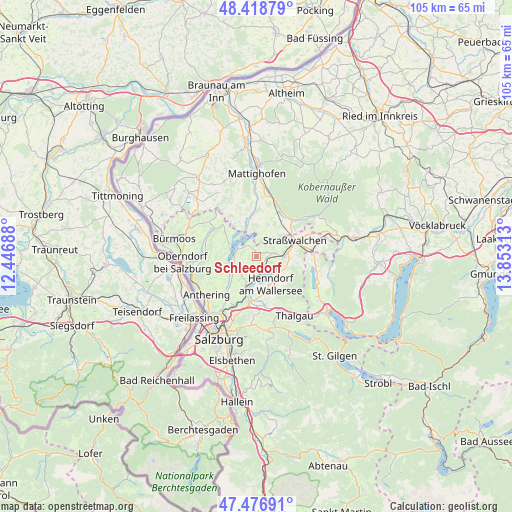
Schleedorf GPS coordinates[2]
47° 57' 0" North, 13° 9' 0" East
| Map corner | latitude | longitude |
|---|---|---|
| Upper-left | 48.41879°, | 12.44688° |
| Center: | 47.95°, | 13.15° |
| Lower-right: | 47.47691°, | 13.85313° |
| Map W x H: | 104.7×104.7 km | = 65.1×65.1mi |
| max Lat: | 48.98333° ⇑36.9% North |
| Schleedorf: | 47.95° |
| min Lat: | ⇓63.1% South 46.48841° |
| min Long | Schleedorf | max Long |
| 9.57802° | 13.15° | 17.1° |
| W 19.8%⇐ | ⇒80.2% E |
Elevation
Elevation of Schleedorf is 600 m = 1969 ft, and this is 94.5 m = 310 ft above average elevation for this country.
| Max E: |
2140 m = 7021 ft | 29% |
| Schleedorf | 600 m 1969 ft | |
| Avg. | 505.5 m = 1658 ft | |
Min E: |
118 m = 387 ft | 71% |
See also: Austria elevation on elevation.city.
Geographical zone
Schleedorf is located in North temperate zone (between Tropic of Cancer and the Arctic Circle). Distance of this North polar circle is 2069.6 km =1286 mi to North.| Distance of | km | miles | from Schleedorf |
|---|---|---|---|
| North Pole | 4675.5 | 2905.2 | to North |
| Arctic Circle | 2069.6 | 1286 | to North |
| Tropic Cancer | 2725.6 | 1693.6 | to South |
| Equator | 5331.5 | 3312.8 | to South |


Nearby cities:
15 places around Schleedorf: (largest is in red/bold)
• Brunn
6.7 km =4.2 mi,  189°
189°
• Henndorf am Wallersee
6.1 km =3.8 mi,  155°
155°
• Köstendorf
3.7 km =2.3 mi,  90°
90°
• Lochen
6.8 km =4.2 mi,  19°
19°
• Mattsee
4.2 km =2.6 mi,  296°
296°
• Matzing
6.2 km =3.9 mi,  270°
270°
• Neumarkt am Wallersee
6.2 km =3.9 mi, 90°
• Obertrum am See
5.6 km =3.5 mi,  255°
255°
• Schalkham
5.3 km =3.3 mi,  110°
110°
• Seeham
5.8 km =3.6 mi,  289°
289°
• Seekirchen am Wallersee
5.7 km =3.5 mi, 192°
• Seewalchen
5.7 km =3.5 mi, 192°
• Steindorf
6.8 km =4.2 mi,  80°
80°
• Waldprechting
6.1 km =3.8 mi,  204°
204°
• Wimmsiedlung
7 km =4.3 mi, 196°
Sources, notices
• [Note1] Compared only with cities in Austria existing in our database
• [Src1] Map data: © OpenStreetMap contributors (CC-BY-SA)
• [Src2] Other city data from geonames.org with taken over terms of usage.
• [Src3] Geographical zone / Annual Mean Temperature by Robert A. Rohde @ Wikipedia
