Proleb geodata
Proleb (Styria) is a seat of a third-order administrative division; located in Austria in Europe/Vienna (GMT+2) time zone. With population of 1,146 people, there are 1103 cities with bigger population in this country. Compared to other cities in Austria, 59.8% of cities are located further ↑North; 56.5% of cities are located further ←West and 68.9% of cities have lower elevation than Proleb. Note1


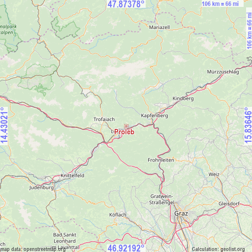
Proleb GPS coordinates[2]
47° 24' 0" North, 15° 7' 59.988" East
| Map corner | latitude | longitude |
|---|---|---|
| Upper-left | 47.87378°, | 14.43021° |
| Center: | 47.4°, | 15.13333° |
| Lower-right: | 46.92192°, | 15.83646° |
| Map W x H: | 105.8×105.8 km | = 65.7×65.7mi |
| max Lat: | 48.98333° ⇑59.8% North |
| Proleb: | 47.4° |
| min Lat: | ⇓40.2% South 46.48841° |
| min Long | Proleb | max Long |
| 9.57802° | 15.13333° | 17.1° |
| W 56.5%⇐ | ⇒43.5% E |
Elevation
Elevation of Proleb is 579 m = 1900 ft, and this is 73.5 m = 241 ft above average elevation for this country.
| Max E: |
2140 m = 7021 ft | 31.1% |
| Proleb | 579 m 1900 ft | |
| Avg. | 505.5 m = 1658 ft | |
Min E: |
118 m = 387 ft | 68.9% |
See also: Austria elevation on elevation.city.
Geographical zone
Proleb is located in North temperate zone (between Tropic of Cancer and the Arctic Circle). Distance of this North polar circle is 2130.8 km =1324 mi to North.| Distance of | km | miles | from Proleb |
|---|---|---|---|
| North Pole | 4736.7 | 2943.2 | to North |
| Arctic Circle | 2130.8 | 1324 | to North |
| Tropic Cancer | 2664.5 | 1655.6 | to South |
| Equator | 5270.4 | 3274.9 | to South |


Nearby cities:
15 places around Proleb: (largest is in red/bold)
• Donawitz
6.2 km =3.9 mi,  233°
233°
• Göss
5.2 km =3.2 mi,  208°
208°
• Hessenberg
8.8 km =5.5 mi,  268°
268°
• Hinterberg
6.5 km =4 mi, 227°
• Judendorf
2.5 km =1.6 mi, 270°
• Laintal
7.6 km =4.7 mi,  291°
291°
• Leitendorf
5.3 km =3.3 mi, 225°
• Leoben
4.1 km =2.5 mi, 230°
• Niklasdorf
2.2 km =1.4 mi,  145°
145°
• Oberaich
6.3 km =3.9 mi,  90°
90°
• Sankt Katharein an der Laming
8.2 km =5.1 mi,  15°
15°
• Sankt Peter-Freienstein
9 km =5.6 mi,  258°
258°
• Trofaiach
9.9 km =6.2 mi, 286°
• Urgental
8.3 km =5.2 mi,  84°
84°
• Utschtal
5 km =3.1 mi, 90°
Sources, notices
• [Note1] Compared only with cities in Austria existing in our database
• [Src1] Map data: © OpenStreetMap contributors (CC-BY-SA)
• [Src2] Other city data from geonames.org with taken over terms of usage.
• [Src3] Geographical zone / Annual Mean Temperature by Robert A. Rohde @ Wikipedia
