Ardning geodata
Ardning (Styria) is a seat of a third-order administrative division; located in Austria in Europe/Vienna (GMT+1) time zone. With population of 797 people, there are 1619 cities with bigger population in this country. Compared to other cities in Austria, 50.2% of cities are located further ↓South; 56.4% of cities are located further →East and 76.1% of cities have lower elevation than Ardning. Note1


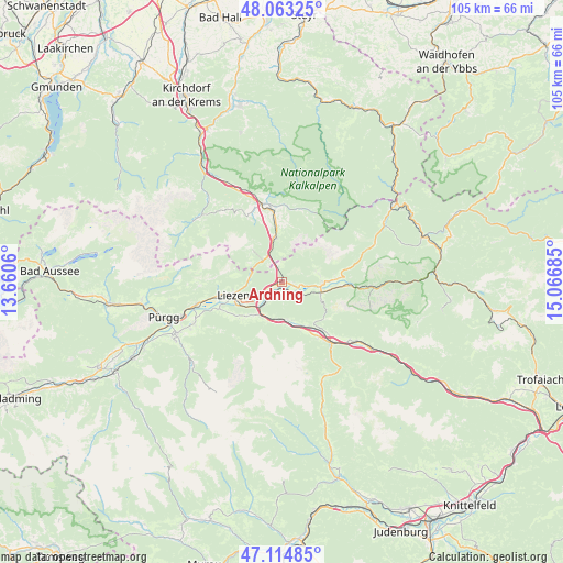
Ardning GPS coordinates[2]
47° 35' 28.32" North, 14° 21' 49.392" East
| Map corner | latitude | longitude |
|---|---|---|
| Upper-left | 48.06325°, | 13.6606° |
| Center: | 47.5912°, | 14.36372° |
| Lower-right: | 47.11485°, | 15.06685° |
| Map W x H: | 105.5×105.5 km | = 65.6×65.6mi |
| max Lat: | 48.98333° ⇑49.8% North |
| Ardning: | 47.5912° |
| min Lat: | ⇓50.2% South 46.48841° |
| min Long | Ardning | max Long |
| 9.57802° | 14.36372° | 17.1° |
| W 43.6%⇐ | ⇒56.4% E |
Elevation
Elevation of Ardning is 664 m = 2178 ft, and this is 158.5 m = 520 ft above average elevation for this country.
| Max E: |
2140 m = 7021 ft | 23.9% |
| Ardning | 664 m 2178 ft | |
| Avg. | 505.5 m = 1658 ft | |
Min E: |
118 m = 387 ft | 76.1% |
See also: Austria elevation on elevation.city.
Geographical zone
Ardning is located in North temperate zone (between Tropic of Cancer and the Arctic Circle). Distance of this North polar circle is 2109.5 km =1310.8 mi to North.| Distance of | km | miles | from Ardning |
|---|---|---|---|
| North Pole | 4715.4 | 2930 | to North |
| Arctic Circle | 2109.5 | 1310.8 | to North |
| Tropic Cancer | 2685.7 | 1668.8 | to South |
| Equator | 5291.6 | 3288 | to South |


Nearby cities:
15 places around Ardning: (largest is in red/bold)
• Admont
7.5 km =4.7 mi,  103°
103°
• Boder
6.4 km =4 mi,  178°
178°
• Bruckmühl
6.8 km =4.2 mi,  199°
199°
• Edlbach
13.8 km =8.6 mi,  354°
354°
• Hall bei Admont
7.5 km =4.7 mi,  93°
93°
• Klausner
2 km =1.2 mi,  210°
210°
• Lassing
10.2 km =6.3 mi,  231°
231°
• Liezen
10.2 km =6.3 mi,  254°
254°
• Oppenberg
14 km =8.7 mi, 211°
• Rottenmann
8.4 km =5.2 mi,  187°
187°
• Selzthal
6 km =3.7 mi,  220°
220°
• Spital am Pyhrn
8.4 km =5.2 mi, 347°
• Weißenbach bei Liezen
11.4 km =7.1 mi,  256°
256°
• Weng im Gesäuse
10.6 km =6.6 mi,  83°
83°
• Windischgarsten
14.8 km =9.2 mi, 349°
Sources, notices
• [Note1] Compared only with cities in Austria existing in our database
• [Src1] Map data: © OpenStreetMap contributors (CC-BY-SA)
• [Src2] Other city data from geonames.org with taken over terms of usage.
• [Src3] Geographical zone / Annual Mean Temperature by Robert A. Rohde @ Wikipedia
