Haslach geodata
Haslach (Upper Austria) is a populated place; located in Austria in Europe/Vienna (GMT+2) time zone. With population of 699 people, there are 1858 cities with bigger population in this country. Compared to other cities in Austria, 88.8% of cities are located further ↓South; 56.9% of cities are located further →East and 61.6% of cities have lower elevation than Haslach. Note1
Administrative division(s):
- Level 1: Upper Austria
- Level 2: Politischer Bezirk Urfahr-Umgebung
- Level 3: Altenberg bei Linz


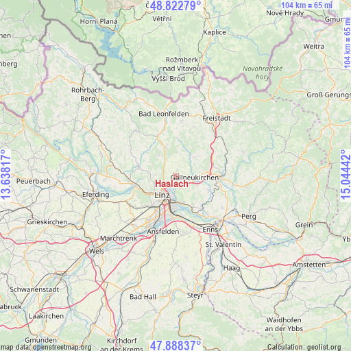
Haslach GPS coordinates[2]
48° 21' 27.792" North, 14° 20' 28.644" East
| Map corner | latitude | longitude |
|---|---|---|
| Upper-left | 48.82279°, | 13.63817° |
| Center: | 48.35772°, | 14.34129° |
| Lower-right: | 47.88837°, | 15.04442° |
| Map W x H: | 103.9×103.9 km | = 64.6×64.6mi |
| max Lat: | 48.98333° ⇑11.2% North |
| Haslach: | 48.35772° |
| min Lat: | ⇓88.8% South 46.48841° |
| min Long | Haslach | max Long |
| 9.57802° | 14.34129° | 17.1° |
| W 43.1%⇐ | ⇒56.9% E |
Elevation
Elevation of Haslach is 528 m = 1732 ft, and this is 22.5 m = 74 ft above average elevation for this country.
| Max E: |
2140 m = 7021 ft | 38.4% |
| Haslach | 528 m 1732 ft | |
| Avg. | 505.5 m = 1658 ft | |
Min E: |
118 m = 387 ft | 61.6% |
See also: Austria elevation on elevation.city.
Geographical zone
Haslach is located in North temperate zone (between Tropic of Cancer and the Arctic Circle). Distance of this North polar circle is 2024.3 km =1257.8 mi to North.| Distance of | km | miles | from Haslach |
|---|---|---|---|
| North Pole | 4630.2 | 2877.1 | to North |
| Arctic Circle | 2024.3 | 1257.8 | to North |
| Tropic Cancer | 2771 | 1721.8 | to South |
| Equator | 5376.9 | 3341 | to South |


Nearby cities:
15 places around Haslach: (largest is in red/bold)
• Alberndorf in der Riedmark
7.6 km =4.7 mi,  45°
45°
• Altenberg bei Linz
1.8 km =1.1 mi,  21°
21°
• Altlichtenberg
6.1 km =3.8 mi,  272°
272°
• Aussertreffling
2.8 km =1.7 mi,  166°
166°
• Engerwitzdorf
7.6 km =4.7 mi,  100°
100°
• Gallneukirchen
5.5 km =3.4 mi,  94°
94°
• Haid
7.2 km =4.5 mi,  117°
117°
• Innertreffling
2.9 km =1.8 mi, 117°
• Kirchschlag bei Linz
7.7 km =4.8 mi,  321°
321°
• Linz
7 km =4.3 mi,  215°
215°
• Linzerberg
5.2 km =3.2 mi,  107°
107°
• Mittertreffling
2.8 km =1.7 mi,  140°
140°
• Plesching
4.1 km =2.5 mi,  183°
183°
• Schweinbach
6.3 km =3.9 mi, 107°
• Steyregg
8.3 km =5.2 mi, 165°
Sources, notices
• [Note1] Compared only with cities in Austria existing in our database
• [Src1] Map data: © OpenStreetMap contributors (CC-BY-SA)
• [Src2] Other city data from geonames.org with taken over terms of usage.
• [Src3] Geographical zone / Annual Mean Temperature by Robert A. Rohde @ Wikipedia
