Waurn Ponds geodata
Waurn Ponds (Victoria) is a section of populated place; located in Australia in Australia/Melbourne (GMT+11) time zone. With population of 5,198 people, there are 1427 cities with bigger population in this country. Compared to other cities in Australia, 94.3% of cities are located further ↑North; 71.5% of cities are located further →East and 67.2% of cities have lower elevation than Waurn Ponds. Note1


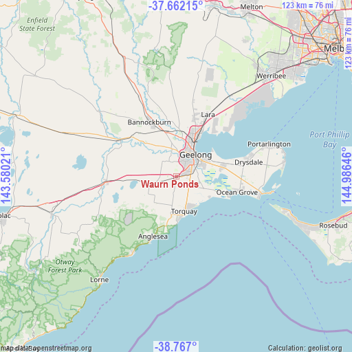
Waurn Ponds GPS coordinates[2]
38° 13' 0.012" South, 144° 16' 59.988" East
| Map corner | latitude | longitude |
|---|---|---|
| Upper-left | -37.66215°, | 143.58021° |
| Center: | -38.21667°, | 144.28333° |
| Lower-right: | -38.767°, | 144.98646° |
| Map W x H: | 122.8×122.8 km | = 76.3×76.3mi |
| max Lat: | -10.58257° ⇑94.3% North |
| Waurn Ponds: | -38.21667° |
| min Lat: | ⇓5.7% South -43.31423° |
| min Long | Waurn Ponds | max Long |
| 113.53327° | 144.28333° | 153.61246° |
| W 28.5%⇐ | ⇒71.5% E |
Elevation
Elevation of Waurn Ponds is 89 m = 292 ft, and this is 33 m = 108 ft below average elevation for this country.
| Max E: |
1715 m = 5627 ft | 32.8% |
| Avg. | 122 m = 400 ft | |
| Waurn Ponds | 89 m = 292 ft | |
Min E: |
-2 m = -7 ft | 67.2% |
See also: Australia elevation on elevation.city.
Geographical zone
Waurn Ponds is located in South temperate zone (between Tropic of Capricorn and the Antarctic Circle). Distance of this Southern Tropic circle is 1643.4 km =1021.2 mi to North.| Distance of | km | miles | from Waurn Ponds |
|---|---|---|---|
| Equator | 4249.3 | 2640.4 | to North |
| Tropic Capricorn | 1643.4 | 1021.2 | to North |
| Antarctic Circle | 3151.9 | 1958.5 | to South |
| South Pole | 5757.8 | 3577.7 | to South |


Nearby cities:
15 places around Waurn Ponds: (largest is in red/bold)
• Armstrong Creek
8.1 km =5 mi,  101°
101°
• Belmont
7 km =4.3 mi,  48°
48°
• Breakwater
8.4 km =5.2 mi,  60°
60°
• Geelong city centre
10.1 km =6.3 mi,  42°
42°
• Grovedale
6.1 km =3.8 mi,  72°
72°
• Herne Hill
9.8 km =6.1 mi,  21°
21°
• Highton
5.7 km =3.5 mi,  25°
25°
• Manifold Heights
9.8 km =6.1 mi, 26°
• Moriac
9.9 km =6.2 mi,  254°
254°
• Mount Duneed
5.4 km =3.4 mi,  119°
119°
• Newtown
8.3 km =5.2 mi, 32°
• South Geelong
8.8 km =5.5 mi, 46°
• St Albans Park
10 km =6.2 mi, 71°
• Thomson
9.8 km =6.1 mi, 58°
• Wandana Heights
4.9 km =3 mi, 21°
Sources, notices
• [Note1] Compared only with cities in Australia existing in our database
• [Src1] Map data: © OpenStreetMap contributors (CC-BY-SA)
• [Src2] Other city data from geonames.org with taken over terms of usage.
• [Src3] Geographical zone / Annual Mean Temperature by Robert A. Rohde @ Wikipedia
