Tamaree geodata
Tamaree (Queensland) is a section of populated place; located in Australia in Australia/Brisbane (GMT+10) time zone. With population of 862 people, there are 4037 cities with bigger population in this country. Compared to other cities in Australia, 88.6% of cities are located further ↓South; 85.4% of cities are located further ←West and 69.7% of cities have lower elevation than Tamaree. Note1


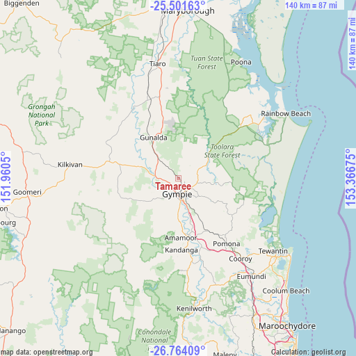
Tamaree GPS coordinates[2]
26° 8' 4.452" South, 152° 39' 49.032" East
| Map corner | latitude | longitude |
|---|---|---|
| Upper-left | -25.50163°, | 151.9605° |
| Center: | -26.13457°, | 152.66362° |
| Lower-right: | -26.76409°, | 153.36675° |
| Map W x H: | 140.4×140.4 km | = 87.2×87.2mi |
| max Lat: | -10.58257° ⇑11.4% North |
| Tamaree: | -26.13457° |
| min Lat: | ⇓88.6% South -43.31423° |
| min Long | Tamaree | max Long |
| 113.53327° | 152.66362° | 153.61246° |
| W 85.4%⇐ | ⇒14.6% E |
Elevation
Elevation of Tamaree is 101 m = 331 ft, and this is 21 m = 69 ft below average elevation for this country.
| Max E: |
1715 m = 5627 ft | 30.3% |
| Avg. | 122 m = 400 ft | |
| Tamaree | 101 m = 331 ft | |
Min E: |
-2 m = -7 ft | 69.7% |
See also: Australia elevation on elevation.city.
Geographical zone
Tamaree is located in South temperate zone (between Tropic of Capricorn and the Antarctic Circle). Distance of this Southern Tropic circle is 300 km =186.4 mi to North.| Distance of | km | miles | from Tamaree |
|---|---|---|---|
| Equator | 2905.9 | 1805.6 | to North |
| Tropic Capricorn | 300 | 186.4 | to North |
| Antarctic Circle | 4495.3 | 2793.2 | to South |
| South Pole | 7101.2 | 4412.5 | to South |


Nearby cities:
15 places around Tamaree: (largest is in red/bold)
• Amamoor
23.9 km =14.9 mi,  176°
176°
• Araluen
2.8 km =1.7 mi,  204°
204°
• Chatsworth
5 km =3.1 mi,  257°
257°
• Curra
11 km =6.8 mi,  313°
313°
• East Deep Creek
8.8 km =5.5 mi,  142°
142°
• Gympie
6.1 km =3.8 mi, 178°
• Jones Hill
10.5 km =6.5 mi, 177°
• Monkland
8.8 km =5.5 mi,  167°
167°
• Mothar Mountain
16.9 km =10.5 mi, 139°
• Pie Creek
12 km =7.5 mi,  207°
207°
• Southside
8.5 km =5.3 mi,  191°
191°
• The Dawn
12 km =7.5 mi, 172°
• The Palms
11 km =6.8 mi,  224°
224°
• Veteran
3.8 km =2.4 mi, 136°
• Victory Heights
4.9 km =3 mi,  148°
148°
Sources, notices
• [Note1] Compared only with cities in Australia existing in our database
• [Src1] Map data: © OpenStreetMap contributors (CC-BY-SA)
• [Src2] Other city data from geonames.org with taken over terms of usage.
• [Src3] Geographical zone / Annual Mean Temperature by Robert A. Rohde @ Wikipedia
