Harlaxton geodata
Harlaxton (Queensland) is a section of populated place; located in Australia in Australia/Brisbane (GMT+10) time zone. With population of 2,518 people, there are 2556 cities with bigger population in this country. Compared to other cities in Australia, 81.3% of cities are located further ↓South; 82.4% of cities are located further ←West and 98.2% of cities have lower elevation than Harlaxton. Note1


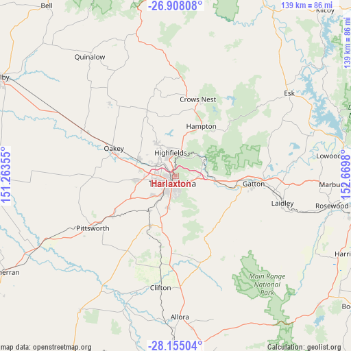
Harlaxton GPS coordinates[2]
27° 31' 59.988" South, 151° 58' 0.012" East
| Map corner | latitude | longitude |
|---|---|---|
| Upper-left | -26.90808°, | 151.26355° |
| Center: | -27.53333°, | 151.96667° |
| Lower-right: | -28.15504°, | 152.6698° |
| Map W x H: | 138.6×138.7 km | = 86.1×86.2mi |
| max Lat: | -10.58257° ⇑18.7% North |
| Harlaxton: | -27.53333° |
| min Lat: | ⇓81.3% South -43.31423° |
| min Long | Harlaxton | max Long |
| 113.53327° | 151.96667° | 153.61246° |
| W 82.4%⇐ | ⇒17.6% E |
Elevation
Elevation of Harlaxton is 681 m = 2234 ft, and this is 559 m = 1834 ft above average elevation for this country.
| Max E: |
1715 m = 5627 ft | 1.8% |
| Harlaxton | 681 m 2234 ft | |
| Avg. | 122 m = 400 ft | |
Min E: |
-2 m = -7 ft | 98.2% |
See also: Australia elevation on elevation.city.
Geographical zone
Harlaxton is located in South temperate zone (between Tropic of Capricorn and the Antarctic Circle). Distance of this Southern Tropic circle is 455.5 km =283 mi to North.| Distance of | km | miles | from Harlaxton |
|---|---|---|---|
| Equator | 3061.4 | 1902.3 | to North |
| Tropic Capricorn | 455.5 | 283 | to North |
| Antarctic Circle | 4339.8 | 2696.6 | to South |
| South Pole | 6945.6 | 4315.8 | to South |


Nearby cities:
15 places around Harlaxton: (largest is in red/bold)
• Blue Mountain Heights
3.3 km =2.1 mi,  341°
341°
• Centenary Heights
6 km =3.7 mi,  183°
183°
• Cranley
4.8 km =3 mi,  295°
295°
• East Toowoomba
4.2 km =2.6 mi,  169°
169°
• Mount Lofty
1.5 km =0.9 mi,  159°
159°
• Newtown
4.2 km =2.6 mi,  233°
233°
• North Toowoomba
1.3 km =0.8 mi,  204°
204°
• Prince Henry Heights
3.1 km =1.9 mi,  129°
129°
• Rangeville
5.7 km =3.5 mi, 166°
• Rockville
2.8 km =1.7 mi,  263°
263°
• South Toowoomba
4.6 km =2.9 mi,  205°
205°
• Toowoomba
3.3 km =2.1 mi, 202°
• Wilsonton
5 km =3.1 mi, 257°
• Wilsonton Heights
4.2 km =2.6 mi,  271°
271°
• Withcott
6.1 km =3.8 mi,  112°
112°
Sources, notices
• [Note1] Compared only with cities in Australia existing in our database
• [Src1] Map data: © OpenStreetMap contributors (CC-BY-SA)
• [Src2] Other city data from geonames.org with taken over terms of usage.
• [Src3] Geographical zone / Annual Mean Temperature by Robert A. Rohde @ Wikipedia
