Bungalow geodata
Bungalow (Queensland) is a section of populated place; located in Australia in Australia/Brisbane (GMT+10) time zone. With population of 2,159 people, there are 2789 cities with bigger population in this country. Compared to other cities in Australia, 97.1% of cities are located further ↓South; 58% of cities are located further →East and 98.1% of cities have higher elevation than Bungalow. Note1


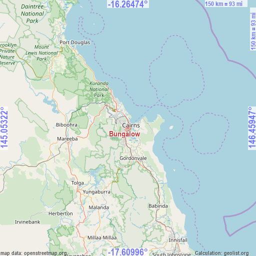
Bungalow GPS coordinates[2]
16° 56' 18.78" South, 145° 45' 22.824" East
| Map corner | latitude | longitude |
|---|---|---|
| Upper-left | -16.26474°, | 145.05322° |
| Center: | -16.93855°, | 145.75634° |
| Lower-right: | -17.60996°, | 146.45947° |
| Map W x H: | 149.6×149.6 km | = 93×93mi |
| max Lat: | -10.58257° ⇑2.9% North |
| Bungalow: | -16.93855° |
| min Lat: | ⇓97.1% South -43.31423° |
| min Long | Bungalow | max Long |
| 113.53327° | 145.75634° | 153.61246° |
| W 42%⇐ | ⇒58% E |
Elevation
Elevation of Bungalow is 4 m = 13 ft, and this is 118 m = 387 ft below average elevation for this country.
| Max E: |
1715 m = 5627 ft | 98.1% |
| Avg. | 122 m = 400 ft | |
| Bungalow | 4 m = 13 ft | |
Min E: |
-2 m = -7 ft | 1.9% |
See also: Australia elevation on elevation.city.
Geographical zone
Bungalow is located in South Torrid zone (between Equator and Tropic of Capricorn). Distance of this Southern Tropic circle is 722.5 km =448.9 mi to South.| Distance of | km | miles | from Bungalow |
|---|---|---|---|
| Equator | 1883.4 | 1170.3 | to North |
| Tropic Capricorn | 722.5 | 448.9 | to South |
| Antarctic Circle | 5517.8 | 3428.6 | to South |
| South Pole | 8123.7 | 5047.8 | to South |


Nearby cities:
15 places around Bungalow: (largest is in red/bold)
• Bayview Heights
4.2 km =2.6 mi,  230°
230°
• Cairns
2 km =1.2 mi,  32°
32°
• Cairns City
2.7 km =1.7 mi,  42°
42°
• Cairns North
3.8 km =2.4 mi,  1°
1°
• Earlville
2.8 km =1.7 mi,  241°
241°
• Edge Hill
4.3 km =2.7 mi,  351°
351°
• Kanimbla
4.1 km =2.5 mi,  294°
294°
• Manoora
3.2 km =2 mi,  318°
318°
• Manunda
2.5 km =1.6 mi,  342°
342°
• Mooroobool
2.7 km =1.7 mi,  278°
278°
• Parramatta Park
1.8 km =1.1 mi, 37°
• Westcourt
1 km =0.6 mi, 338°
• White Rock
4.1 km =2.5 mi,  169°
169°
• Whitfield
5.4 km =3.4 mi,  333°
333°
• Woree
1.4 km =0.9 mi,  207°
207°
Sources, notices
• [Note1] Compared only with cities in Australia existing in our database
• [Src1] Map data: © OpenStreetMap contributors (CC-BY-SA)
• [Src2] Other city data from geonames.org with taken over terms of usage.
• [Src3] Geographical zone / Annual Mean Temperature by Robert A. Rohde @ Wikipedia
