The Range geodata
The Range (Queensland) is a section of populated place; located in Australia in Australia/Brisbane (GMT+10) time zone. With population of 5,561 people, there are 1325 cities with bigger population in this country. Compared to other cities in Australia, 91.6% of cities are located further ↓South; 58.7% of cities are located further ←West and 56.3% of cities have lower elevation than The Range. Note1


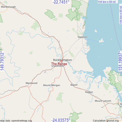
The Range GPS coordinates[2]
23° 23' 31.2" South, 150° 29' 46.464" East
| Map corner | latitude | longitude |
|---|---|---|
| Upper-left | -22.7451°, | 149.79312° |
| Center: | -23.392°, | 150.49624° |
| Lower-right: | -24.03575°, | 151.19937° |
| Map W x H: | 143.5×143.5 km | = 89.2×89.2mi |
| max Lat: | -10.58257° ⇑8.4% North |
| The Range: | -23.392° |
| min Lat: | ⇓91.6% South -43.31423° |
| min Long | The Range | max Long |
| 113.53327° | 150.49624° | 153.61246° |
| W 58.7%⇐ | ⇒41.3% E |
Elevation
Elevation of The Range is 56 m = 184 ft, and this is 66 m = 217 ft below average elevation for this country.
| Max E: |
1715 m = 5627 ft | 43.7% |
| Avg. | 122 m = 400 ft | |
| The Range | 56 m = 184 ft | |
Min E: |
-2 m = -7 ft | 56.3% |
See also: Australia elevation on elevation.city.
Geographical zone
The Range is located in South Torrid zone (between Equator and Tropic of Capricorn). Distance of this Southern Tropic circle is 5 km =3.1 mi to South.| Distance of | km | miles | from The Range |
|---|---|---|---|
| Equator | 2600.9 | 1616.1 | to North |
| Tropic Capricorn | 5 | 3.1 | to South |
| Antarctic Circle | 4800.2 | 2982.7 | to South |
| South Pole | 7406.1 | 4601.9 | to South |


Nearby cities:
15 places around The Range: (largest is in red/bold)
• Allenstown
0.8 km =0.5 mi,  106°
106°
• Alton Downs
18.1 km =11.2 mi,  304°
304°
• Berserker
4.5 km =2.8 mi,  33°
33°
• Depot Hill
2.5 km =1.6 mi,  85°
85°
• Frenchville
7 km =4.3 mi,  44°
44°
• Gracemere
6.5 km =4 mi,  217°
217°
• Kawana
5.9 km =3.7 mi,  8°
8°
• Koongal
6 km =3.7 mi,  64°
64°
• Lakes Creek
8.8 km =5.5 mi,  67°
67°
• Norman Gardens
7.6 km =4.7 mi,  24°
24°
• Park Avenue
4.9 km =3 mi, 28°
• Parkhurst
10.4 km =6.5 mi, 11°
• Rockhampton
1.6 km =1 mi, 37°
• Wandal
2.6 km =1.6 mi,  354°
354°
• West Rockhampton
2 km =1.2 mi,  313°
313°
Sources, notices
• [Note1] Compared only with cities in Australia existing in our database
• [Src1] Map data: © OpenStreetMap contributors (CC-BY-SA)
• [Src2] Other city data from geonames.org with taken over terms of usage.
• [Src3] Geographical zone / Annual Mean Temperature by Robert A. Rohde @ Wikipedia
