Casula geodata
Casula (New South Wales) is a section of populated place; located in Australia in Australia/Sydney (GMT+11) time zone. With population of 15,695 people, there are 251 cities with bigger population in this country. Compared to other cities in Australia, 57.9% of cities are located further ↑North; 65.4% of cities are located further ←West and 52.8% of cities have lower elevation than Casula. Note1


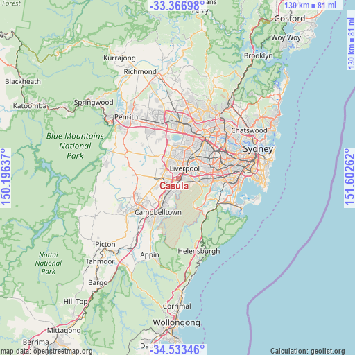
Casula GPS coordinates[2]
33° 57' 7.992" South, 150° 53' 58.164" East
| Map corner | latitude | longitude |
|---|---|---|
| Upper-left | -33.36698°, | 150.19637° |
| Center: | -33.95222°, | 150.89949° |
| Lower-right: | -34.53346°, | 151.60262° |
| Map W x H: | 129.7×129.7 km | = 80.6×80.6mi |
| max Lat: | -10.58257° ⇑57.9% North |
| Casula: | -33.95222° |
| min Lat: | ⇓42.1% South -43.31423° |
| min Long | Casula | max Long |
| 113.53327° | 150.89949° | 153.61246° |
| W 65.4%⇐ | ⇒34.6% E |
Elevation
Elevation of Casula is 49 m = 161 ft, and this is 73 m = 240 ft below average elevation for this country.
| Max E: |
1715 m = 5627 ft | 47.2% |
| Avg. | 122 m = 400 ft | |
| Casula | 49 m = 161 ft | |
Min E: |
-2 m = -7 ft | 52.8% |
See also: Australia elevation on elevation.city.
Geographical zone
Casula is located in South temperate zone (between Tropic of Capricorn and the Antarctic Circle). Distance of this Southern Tropic circle is 1169.2 km =726.5 mi to North.| Distance of | km | miles | from Casula |
|---|---|---|---|
| Equator | 3775.1 | 2345.7 | to North |
| Tropic Capricorn | 1169.2 | 726.5 | to North |
| Antarctic Circle | 3626 | 2253.1 | to South |
| South Pole | 6231.9 | 3872.3 | to South |


Nearby cities:
15 places around Casula: (largest is in red/bold)
• Ashcroft
4 km =2.5 mi,  0°
0°
• Bardia
4.4 km =2.7 mi,  229°
229°
• Cartwright
3.2 km =2 mi,  343°
343°
• Edmondson Park
3.6 km =2.2 mi,  261°
261°
• Glenfield
1.6 km =1 mi,  178°
178°
• Hammondville
4.9 km =3 mi,  84°
84°
• Hoxton Park
4.8 km =3 mi,  299°
299°
• Liverpool
4.4 km =2.7 mi,  33°
33°
• Lurnea
1.9 km =1.2 mi,  352°
352°
• Macquarie Fields
4.5 km =2.8 mi,  187°
187°
• Macquarie Links
4.5 km =2.8 mi,  216°
216°
• Miller
3.7 km =2.3 mi, 338°
• Prestons
2.8 km =1.7 mi,  294°
294°
• Sadleir
4 km =2.5 mi, 348°
• Wattle Grove
4.2 km =2.6 mi,  93°
93°
Sources, notices
• [Note1] Compared only with cities in Australia existing in our database
• [Src1] Map data: © OpenStreetMap contributors (CC-BY-SA)
• [Src2] Other city data from geonames.org with taken over terms of usage.
• [Src3] Geographical zone / Annual Mean Temperature by Robert A. Rohde @ Wikipedia
