Primrose Sands geodata
Primrose Sands (Tasmania) is a section of populated place; located in Australia in Australia/Hobart (GMT+11) time zone. With population of 998 people, there are 3821 cities with bigger population in this country. Compared to other cities in Australia, 99.3% of cities are located further ↑North; 50.5% of cities are located further ←West and 93.8% of cities have higher elevation than Primrose Sands. Note1


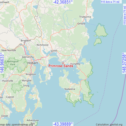
Primrose Sands GPS coordinates[2]
42° 53' 9.06" South, 147° 40' 10.02" East
| Map corner | latitude | longitude |
|---|---|---|
| Upper-left | -42.36851°, | 146.96633° |
| Center: | -42.88585°, | 147.66945° |
| Lower-right: | -43.39889°, | 148.37258° |
| Map W x H: | 114.6×114.6 km | = 71.2×71.2mi |
| max Lat: | -10.58257° ⇑99.3% North |
| Primrose Sands: | -42.88585° |
| min Lat: | ⇓0.7% South -43.31423° |
| min Long | Primrose Sands | max Long |
| 113.53327° | 147.66945° | 153.61246° |
| W 50.5%⇐ | ⇒49.5% E |
Elevation
Elevation of Primrose Sands is 7 m = 23 ft, and this is 115 m = 377 ft below average elevation for this country.
| Max E: |
1715 m = 5627 ft | 93.8% |
| Avg. | 122 m = 400 ft | |
| Primrose Sands | 7 m = 23 ft | |
Min E: |
-2 m = -7 ft | 6.2% |
See also: Australia elevation on elevation.city.
Geographical zone
Primrose Sands is located in South temperate zone (between Tropic of Capricorn and the Antarctic Circle). Distance of this Southern Tropic circle is 2162.5 km =1343.7 mi to North.| Distance of | km | miles | from Primrose Sands |
|---|---|---|---|
| Equator | 4768.5 | 2963 | to North |
| Tropic Capricorn | 2162.5 | 1343.7 | to North |
| Antarctic Circle | 2632.7 | 1635.9 | to South |
| South Pole | 5238.6 | 3255.1 | to South |


Nearby cities:
15 places around Primrose Sands: (largest is in red/bold)
• Acton Park
15.1 km =9.4 mi,  272°
272°
• Carlton
2.9 km =1.8 mi,  336°
336°
• Clarendon Vale
18.4 km =11.4 mi, 268°
• Clifton Beach
16.4 km =10.2 mi,  227°
227°
• Cremorne
13.8 km =8.6 mi, 234°
• Dodges Ferry
5.3 km =3.3 mi,  313°
313°
• Forcett
10 km =6.2 mi, 342°
• Lauderdale
15.1 km =9.4 mi,  258°
258°
• Lewisham
7.3 km =4.5 mi,  323°
323°
• Midway Point
15.3 km =9.5 mi, 311°
• Oakdowns
17.5 km =10.9 mi, 264°
• Rokeby
18 km =11.2 mi, 265°
• Sandford
14.8 km =9.2 mi,  249°
249°
• Seven Mile Beach
13.7 km =8.5 mi,  282°
282°
• Sorell
14.5 km =9 mi, 323°
Sources, notices
• [Note1] Compared only with cities in Australia existing in our database
• [Src1] Map data: © OpenStreetMap contributors (CC-BY-SA)
• [Src2] Other city data from geonames.org with taken over terms of usage.
• [Src3] Geographical zone / Annual Mean Temperature by Robert A. Rohde @ Wikipedia
