Halls Head geodata
Halls Head (Western Australia) is a section of populated place; located in Australia in Australia/Perth (GMT+8) time zone. With population of 13,094 people, there are 353 cities with bigger population in this country. Compared to other cities in Australia, 61.3% of cities are located further ↓South; 98.2% of cities are located further →East and 95.5% of cities have higher elevation than Halls Head. Note1


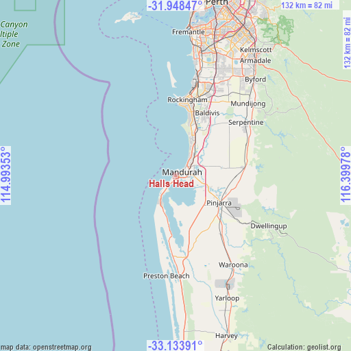
Halls Head GPS coordinates[2]
32° 32' 35.34" South, 115° 41' 47.94" East
| Map corner | latitude | longitude |
|---|---|---|
| Upper-left | -31.94847°, | 114.99353° |
| Center: | -32.54315°, | 115.69665° |
| Lower-right: | -33.13391°, | 116.39978° |
| Map W x H: | 131.8×131.8 km | = 81.9×81.9mi |
| max Lat: | -10.58257° ⇑38.7% North |
| Halls Head: | -32.54315° |
| min Lat: | ⇓61.3% South -43.31423° |
| min Long | Halls Head | max Long |
| 113.53327° | 115.69665° | 153.61246° |
| W 1.8%⇐ | ⇒98.2% E |
Elevation
Elevation of Halls Head is 6 m = 20 ft, and this is 116 m = 381 ft below average elevation for this country.
| Max E: |
1715 m = 5627 ft | 95.5% |
| Avg. | 122 m = 400 ft | |
| Halls Head | 6 m = 20 ft | |
Min E: |
-2 m = -7 ft | 4.5% |
See also: Australia elevation on elevation.city.
Geographical zone
Halls Head is located in South temperate zone (between Tropic of Capricorn and the Antarctic Circle). Distance of this Southern Tropic circle is 1012.5 km =629.1 mi to North.| Distance of | km | miles | from Halls Head |
|---|---|---|---|
| Equator | 3618.5 | 2248.4 | to North |
| Tropic Capricorn | 1012.5 | 629.1 | to North |
| Antarctic Circle | 3782.7 | 2350.5 | to South |
| South Pole | 6388.6 | 3969.7 | to South |


Nearby cities:
15 places around Halls Head: (largest is in red/bold)
• Barragup
7.8 km =4.8 mi,  95°
95°
• Coodanup
5.4 km =3.4 mi, 100°
• Dudley Park
3.4 km =2.1 mi,  107°
107°
• Erskine
1.8 km =1.1 mi,  149°
149°
• Falcon
5.4 km =3.4 mi,  216°
216°
• Furnissdale
6.2 km =3.9 mi, 105°
• Greenfields
6.6 km =4.1 mi,  71°
71°
• Mandurah
3 km =1.9 mi,  52°
52°
• Mandurah city centre
3.9 km =2.4 mi,  61°
61°
• Meadow Springs
7.4 km =4.6 mi, 46°
• Parklands
8.9 km =5.5 mi, 53°
• San Remo
7.4 km =4.6 mi,  37°
37°
• Silver Sands
5.3 km =3.3 mi, 43°
• South Yunderup
9.1 km =5.7 mi,  120°
120°
• Wannanup
7.9 km =4.9 mi, 217°
Sources, notices
• [Note1] Compared only with cities in Australia existing in our database
• [Src1] Map data: © OpenStreetMap contributors (CC-BY-SA)
• [Src2] Other city data from geonames.org with taken over terms of usage.
• [Src3] Geographical zone / Annual Mean Temperature by Robert A. Rohde @ Wikipedia
