Shadforth geodata
Shadforth (Western Australia) is a section of populated place; located in Australia in Australia/Perth (GMT+8) time zone. With population of 680 people, there are 4361 cities with bigger population in this country. Compared to other cities in Australia, 70.4% of cities are located further ↑North; 90.4% of cities are located further →East and 83.2% of cities have lower elevation than Shadforth. Note1


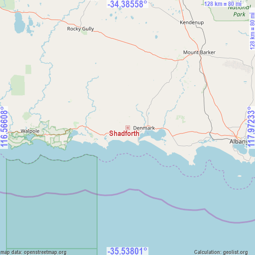
Shadforth GPS coordinates[2]
34° 57' 49.752" South, 117° 16' 9.12" East
| Map corner | latitude | longitude |
|---|---|---|
| Upper-left | -34.38558°, | 116.56608° |
| Center: | -34.96382°, | 117.2692° |
| Lower-right: | -35.53801°, | 117.97233° |
| Map W x H: | 128.1×128.1 km | = 79.6×79.6mi |
| max Lat: | -10.58257° ⇑70.4% North |
| Shadforth: | -34.96382° |
| min Lat: | ⇓29.6% South -43.31423° |
| min Long | Shadforth | max Long |
| 113.53327° | 117.2692° | 153.61246° |
| W 9.6%⇐ | ⇒90.4% E |
Elevation
Elevation of Shadforth is 220 m = 722 ft, and this is 98 m = 322 ft above average elevation for this country.
| Max E: |
1715 m = 5627 ft | 16.8% |
| Shadforth | 220 m 722 ft | |
| Avg. | 122 m = 400 ft | |
Min E: |
-2 m = -7 ft | 83.2% |
See also: Australia elevation on elevation.city.
Geographical zone
Shadforth is located in South temperate zone (between Tropic of Capricorn and the Antarctic Circle). Distance of this Southern Tropic circle is 1281.7 km =796.4 mi to North.| Distance of | km | miles | from Shadforth |
|---|---|---|---|
| Equator | 3887.6 | 2415.6 | to North |
| Tropic Capricorn | 1281.7 | 796.4 | to North |
| Antarctic Circle | 3513.6 | 2183.2 | to South |
| South Pole | 6119.4 | 3802.4 | to South |


Nearby cities:
15 places around Shadforth: (largest is in red/bold)
• Denmark
7.7 km =4.8 mi,  87°
87°
• Gledhow
51 km =31.7 mi,  95°
95°
• Grasmere
44.7 km =27.8 mi, 97°
• Lockyer
53.9 km =33.5 mi, 94°
• McKail
51.2 km =31.8 mi, 92°
• Milpara
54.3 km =33.7 mi, 92°
• Mount Barker
51.8 km =32.2 mi,  44°
44°
• Mount Melville
55.2 km =34.3 mi, 96°
• Ocean Beach
5.9 km =3.7 mi,  161°
161°
• Orana
53.9 km =33.5 mi, 93°
• Robinson
52 km =32.3 mi, 97°
• Warrenup
52.7 km =32.7 mi, 91°
• Willyung
55.7 km =34.6 mi, 87°
• Yakamia
55.7 km =34.6 mi, 94°
• Youngs
23.3 km =14.5 mi, 104°
Sources, notices
• [Note1] Compared only with cities in Australia existing in our database
• [Src1] Map data: © OpenStreetMap contributors (CC-BY-SA)
• [Src2] Other city data from geonames.org with taken over terms of usage.
• [Src3] Geographical zone / Annual Mean Temperature by Robert A. Rohde @ Wikipedia
