Hillcrest geodata
Hillcrest (Tasmania) is a section of populated place; located in Australia in Australia/Hobart (GMT+11) time zone. With population of 1,001 people, there are 3815 cities with bigger population in this country. Compared to other cities in Australia, 96.5% of cities are located further ↑North; 57.6% of cities are located further →East and 72.9% of cities have lower elevation than Hillcrest. Note1


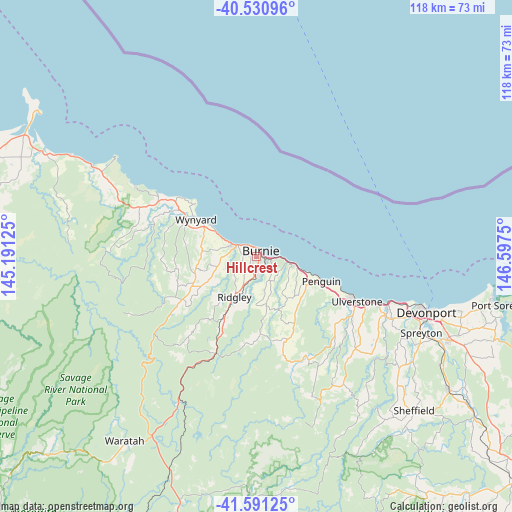
Hillcrest GPS coordinates[2]
41° 3' 47.664" South, 145° 53' 39.732" East
| Map corner | latitude | longitude |
|---|---|---|
| Upper-left | -40.53096°, | 145.19125° |
| Center: | -41.06324°, | 145.89437° |
| Lower-right: | -41.59125°, | 146.5975° |
| Map W x H: | 117.9×117.9 km | = 73.3×73.3mi |
| max Lat: | -10.58257° ⇑96.5% North |
| Hillcrest: | -41.06324° |
| min Lat: | ⇓3.5% South -43.31423° |
| min Long | Hillcrest | max Long |
| 113.53327° | 145.89437° | 153.61246° |
| W 42.4%⇐ | ⇒57.6% E |
Elevation
Elevation of Hillcrest is 117 m = 384 ft, and this is 5 m = 16 ft below average elevation for this country.
| Max E: |
1715 m = 5627 ft | 27.1% |
| Avg. | 122 m = 400 ft | |
| Hillcrest | 117 m = 384 ft | |
Min E: |
-2 m = -7 ft | 72.9% |
See also: Australia elevation on elevation.city.
Geographical zone
Hillcrest is located in South temperate zone (between Tropic of Capricorn and the Antarctic Circle). Distance of this Southern Tropic circle is 1959.9 km =1217.8 mi to North.| Distance of | km | miles | from Hillcrest |
|---|---|---|---|
| Equator | 4565.8 | 2837.1 | to North |
| Tropic Capricorn | 1959.9 | 1217.8 | to North |
| Antarctic Circle | 2835.4 | 1761.8 | to South |
| South Pole | 5441.3 | 3381.1 | to South |


Nearby cities:
15 places around Hillcrest: (largest is in red/bold)
• Brooklyn
1.5 km =0.9 mi,  132°
132°
• Burnie
1.1 km =0.7 mi,  43°
43°
• Burnie city centre
1.3 km =0.8 mi,  47°
47°
• Cooee
2.7 km =1.7 mi,  318°
318°
• Havenview
2.7 km =1.7 mi,  147°
147°
• Montello
0.6 km =0.4 mi,  14°
14°
• Park Grove
1.4 km =0.9 mi,  312°
312°
• Penguin
16.4 km =10.2 mi,  113°
113°
• Ridgley
11.4 km =7.1 mi,  205°
205°
• Romaine
4 km =2.5 mi,  180°
180°
• Shorewell Park
1.6 km =1 mi,  243°
243°
• Somerset
5.9 km =3.7 mi,  295°
295°
• Sulphur Creek
11.4 km =7.1 mi, 107°
• Upper Burnie
1 km =0.6 mi, 154°
• Wynyard
16.3 km =10.1 mi, 300°
Sources, notices
• [Note1] Compared only with cities in Australia existing in our database
• [Src1] Map data: © OpenStreetMap contributors (CC-BY-SA)
• [Src2] Other city data from geonames.org with taken over terms of usage.
• [Src3] Geographical zone / Annual Mean Temperature by Robert A. Rohde @ Wikipedia
