Romaine geodata
Romaine (Tasmania) is a populated place; located in Australia in Australia/Hobart (GMT+11) time zone. With population of 1,658 people, there are 3132 cities with bigger population in this country. Compared to other cities in Australia, 96.6% of cities are located further ↑North; 57.6% of cities are located further →East and 80.1% of cities have lower elevation than Romaine. Note1


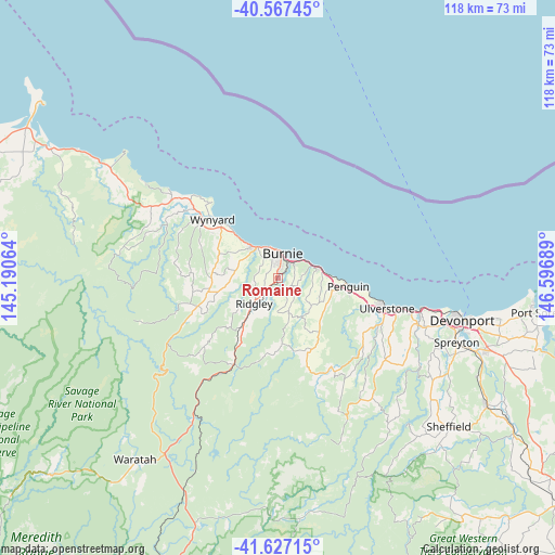
Romaine GPS coordinates[2]
41° 5' 57.984" South, 145° 53' 37.536" East
| Map corner | latitude | longitude |
|---|---|---|
| Upper-left | -40.56745°, | 145.19064° |
| Center: | -41.09944°, | 145.89376° |
| Lower-right: | -41.62715°, | 146.59689° |
| Map W x H: | 117.8×117.8 km | = 73.2×73.2mi |
| max Lat: | -10.58257° ⇑96.6% North |
| Romaine: | -41.09944° |
| min Lat: | ⇓3.4% South -43.31423° |
| min Long | Romaine | max Long |
| 113.53327° | 145.89376° | 153.61246° |
| W 42.4%⇐ | ⇒57.6% E |
Elevation
Elevation of Romaine is 182 m = 597 ft, and this is 60 m = 197 ft above average elevation for this country.
| Max E: |
1715 m = 5627 ft | 19.9% |
| Romaine | 182 m 597 ft | |
| Avg. | 122 m = 400 ft | |
Min E: |
-2 m = -7 ft | 80.1% |
See also: Australia elevation on elevation.city.
Geographical zone
Romaine is located in South temperate zone (between Tropic of Capricorn and the Antarctic Circle). Distance of this Southern Tropic circle is 1963.9 km =1220.3 mi to North.| Distance of | km | miles | from Romaine |
|---|---|---|---|
| Equator | 4569.8 | 2839.5 | to North |
| Tropic Capricorn | 1963.9 | 1220.3 | to North |
| Antarctic Circle | 2831.3 | 1759.3 | to South |
| South Pole | 5437.2 | 3378.5 | to South |


Nearby cities:
15 places around Romaine: (largest is in red/bold)
• Brooklyn
3.2 km =2 mi,  20°
20°
• Burnie
4.9 km =3 mi,  9°
9°
• Burnie city centre
5 km =3.1 mi, 11°
• Cooee
6.3 km =3.9 mi,  344°
344°
• Havenview
2.3 km =1.4 mi,  41°
41°
• Hillcrest
4 km =2.5 mi,  0°
0°
• Montello
4.7 km =2.9 mi, 2°
• Park Grove
5.1 km =3.2 mi,  348°
348°
• Penguin
15.2 km =9.4 mi,  99°
99°
• Ridgley
7.9 km =4.9 mi,  218°
218°
• Shorewell Park
3.6 km =2.2 mi, 336°
• Somerset
8.4 km =5.2 mi,  320°
320°
• Sulphur Creek
10.9 km =6.8 mi,  87°
87°
• Upper Burnie
3.2 km =2 mi, 8°
• Wynyard
18.6 km =11.6 mi,  310°
310°
Sources, notices
• [Note1] Compared only with cities in Australia existing in our database
• [Src1] Map data: © OpenStreetMap contributors (CC-BY-SA)
• [Src2] Other city data from geonames.org with taken over terms of usage.
• [Src3] Geographical zone / Annual Mean Temperature by Robert A. Rohde @ Wikipedia
