Glenvale geodata
Glenvale (Queensland) is a section of populated place; located in Australia in Australia/Brisbane (GMT+10) time zone. With population of 6,238 people, there are 1141 cities with bigger population in this country. Compared to other cities in Australia, 80.1% of cities are located further ↓South; 81.7% of cities are located further ←West and 95.6% of cities have lower elevation than Glenvale. Note1


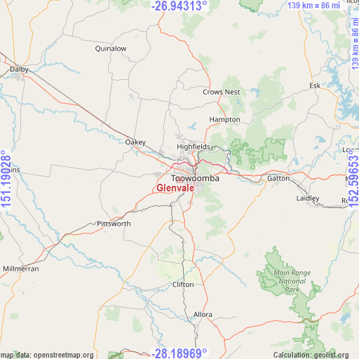
Glenvale GPS coordinates[2]
27° 34' 5.448" South, 151° 53' 36.24" East
| Map corner | latitude | longitude |
|---|---|---|
| Upper-left | -26.94313°, | 151.19028° |
| Center: | -27.56818°, | 151.8934° |
| Lower-right: | -28.18969°, | 152.59653° |
| Map W x H: | 138.6×138.6 km | = 86.1×86.1mi |
| max Lat: | -10.58257° ⇑19.9% North |
| Glenvale: | -27.56818° |
| min Lat: | ⇓80.1% South -43.31423° |
| min Long | Glenvale | max Long |
| 113.53327° | 151.8934° | 153.61246° |
| W 81.7%⇐ | ⇒18.3% E |
Elevation
Elevation of Glenvale is 595 m = 1952 ft, and this is 473 m = 1552 ft above average elevation for this country.
| Max E: |
1715 m = 5627 ft | 4.4% |
| Glenvale | 595 m 1952 ft | |
| Avg. | 122 m = 400 ft | |
Min E: |
-2 m = -7 ft | 95.6% |
See also: Australia elevation on elevation.city.
Geographical zone
Glenvale is located in South temperate zone (between Tropic of Capricorn and the Antarctic Circle). Distance of this Southern Tropic circle is 459.4 km =285.5 mi to North.| Distance of | km | miles | from Glenvale |
|---|---|---|---|
| Equator | 3065.3 | 1904.7 | to North |
| Tropic Capricorn | 459.4 | 285.5 | to North |
| Antarctic Circle | 4335.9 | 2694.2 | to South |
| South Pole | 6941.8 | 4313.4 | to South |


Nearby cities:
15 places around Glenvale: (largest is in red/bold)
• Centenary Heights
7.1 km =4.4 mi,  106°
106°
• Cotswold Hills
5.1 km =3.2 mi,  1°
1°
• Cranley
6.6 km =4.1 mi,  26°
26°
• Darling Heights
4.8 km =3 mi,  130°
130°
• Drayton
3.6 km =2.2 mi,  167°
167°
• Harristown
4.3 km =2.7 mi, 113°
• Kearneys Spring
6.2 km =3.9 mi, 131°
• Newtown
4.1 km =2.5 mi,  70°
70°
• Rockville
5.7 km =3.5 mi,  50°
50°
• South Toowoomba
5.2 km =3.2 mi,  93°
93°
• Toowoomba
6 km =3.7 mi,  81°
81°
• Torrington
2.9 km =1.8 mi,  349°
349°
• Westbrook
6 km =3.7 mi,  206°
206°
• Wilsonton
3.6 km =2.2 mi,  39°
39°
• Wilsonton Heights
5 km =3.1 mi, 37°
Sources, notices
• [Note1] Compared only with cities in Australia existing in our database
• [Src1] Map data: © OpenStreetMap contributors (CC-BY-SA)
• [Src2] Other city data from geonames.org with taken over terms of usage.
• [Src3] Geographical zone / Annual Mean Temperature by Robert A. Rohde @ Wikipedia
