Horsley Park geodata
Horsley Park (New South Wales) is a section of populated place; located in Australia in Australia/Sydney (GMT+11) time zone. With population of 1,820 people, there are 3029 cities with bigger population in this country. Compared to other cities in Australia, 53.5% of cities are located further ↑North; 63.8% of cities are located further ←West and 67.3% of cities have lower elevation than Horsley Park. Note1


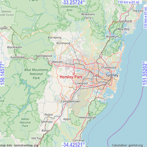
Horsley Park GPS coordinates[2]
33° 50' 35.592" South, 150° 50' 56.004" East
| Map corner | latitude | longitude |
|---|---|---|
| Upper-left | -33.25724°, | 150.14577° |
| Center: | -33.84322°, | 150.84889° |
| Lower-right: | -34.42521°, | 151.55202° |
| Map W x H: | 129.9×129.9 km | = 80.7×80.7mi |
| max Lat: | -10.58257° ⇑53.5% North |
| Horsley Park: | -33.84322° |
| min Lat: | ⇓46.5% South -43.31423° |
| min Long | Horsley Park | max Long |
| 113.53327° | 150.84889° | 153.61246° |
| W 63.8%⇐ | ⇒36.2% E |
Elevation
Elevation of Horsley Park is 90 m = 295 ft, and this is 32 m = 105 ft below average elevation for this country.
| Max E: |
1715 m = 5627 ft | 32.7% |
| Avg. | 122 m = 400 ft | |
| Horsley Park | 90 m = 295 ft | |
Min E: |
-2 m = -7 ft | 67.3% |
See also: Australia elevation on elevation.city.
Geographical zone
Horsley Park is located in South temperate zone (between Tropic of Capricorn and the Antarctic Circle). Distance of this Southern Tropic circle is 1157.1 km =719 mi to North.| Distance of | km | miles | from Horsley Park |
|---|---|---|---|
| Equator | 3763 | 2338.2 | to North |
| Tropic Capricorn | 1157.1 | 719 | to North |
| Antarctic Circle | 3638.2 | 2260.7 | to South |
| South Pole | 6244 | 3879.8 | to South |


Nearby cities:
15 places around Horsley Park: (largest is in red/bold)
• Abbotsbury
3.2 km =2 mi,  159°
159°
• Bonnyrigg Heights
5.7 km =3.5 mi, 159°
• Bossley Park
3.9 km =2.4 mi,  122°
122°
• Cecil Hills
5.1 km =3.2 mi,  177°
177°
• Cecil Park
3.5 km =2.2 mi,  190°
190°
• Eastern Creek
4.3 km =2.7 mi,  15°
15°
• Edensor Park
4.9 km =3 mi,  146°
146°
• Elizabeth Hills
6.2 km =3.9 mi, 181°
• Erskine Park
5.8 km =3.6 mi,  305°
305°
• Greenfield Park
5.3 km =3.3 mi,  131°
131°
• Minchinbury
6.5 km =4 mi,  343°
343°
• Mount Vernon
4.1 km =2.5 mi,  242°
242°
• Prairiewood
5.7 km =3.5 mi,  113°
113°
• Wakeley
6.6 km =4.1 mi, 121°
• Wetherill Park
4.8 km =3 mi,  89°
89°
Sources, notices
• [Note1] Compared only with cities in Australia existing in our database
• [Src1] Map data: © OpenStreetMap contributors (CC-BY-SA)
• [Src2] Other city data from geonames.org with taken over terms of usage.
• [Src3] Geographical zone / Annual Mean Temperature by Robert A. Rohde @ Wikipedia
