Goražde geodata
Goražde (Federation of B&H) is a seat of a second-order administrative division; located in Bosnia and Herzegovina in Europe/Sarajevo (GMT+2) time zone. With population of 17,650 people, there are 16 cities with bigger population in this country. Compared to other cities in Bosnia and Herzegovina, 85.3% of cities are located further ↑North; 91.7% of cities are located further ←West and 61.1% of cities have lower elevation than Goražde. Note1


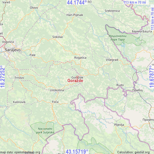
Goražde GPS coordinates[2]
43° 40' 4.62" North, 18° 58' 32.304" East
| Map corner | latitude | longitude |
|---|---|---|
| Upper-left | 44.1744°, | 18.27252° |
| Center: | 43.66795°, | 18.97564° |
| Lower-right: | 43.15719°, | 19.67877° |
| Map W x H: | 113.1×113.1 km | = 70.3×70.3mi |
| max Lat: | 45.21956° ⇑85.3% North |
| Goražde: | 43.66795° |
| min Lat: | ⇓14.7% South 42.71197° |
| min Long | Goražde | max Long |
| 15.77806° | 18.97564° | 19.36719° |
| W 91.7%⇐ | ⇒8.3% E |
Elevation
Elevation of Goražde is 348 m = 1142 ft, and this is 11.5 m = 38 ft below average elevation for this country.
| Max E: |
1175 m = 3855 ft | 38.9% |
| Avg. | 359.5 m = 1179 ft | |
| Goražde | 348 m = 1142 ft | |
Min E: |
17 m = 56 ft | 61.1% |
See also: Bosnia and Herzegovina elevation on elevation.city.
Geographical zone
Goražde is located in North temperate zone (between Tropic of Cancer and the Arctic Circle). Distance of this Northern Tropic circle is 2249.5 km =1397.8 mi to South.| Distance of | km | miles | from Goražde |
|---|---|---|---|
| North Pole | 5151.6 | 3201.1 | to North |
| Arctic Circle | 2545.8 | 1581.9 | to North |
| Tropic Cancer | 2249.5 | 1397.8 | to South |
| Equator | 4855.4 | 3017 | to South |


Nearby cities:
15 places around Goražde: (largest is in red/bold)
• Foča
24 km =14.9 mi,  221°
221°
• Han Pijesak
46 km =28.6 mi,  357°
357°
• Hreša
45 km =28 mi,  301°
301°
• Kalinovik
46.3 km =28.8 mi,  246°
246°
• Kopači
4.4 km =2.7 mi,  74°
74°
• Koran
36.2 km =22.5 mi, 295°
• Pale
36.6 km =22.7 mi, 296°
• Prača
20 km =12.4 mi, 302°
• Rogatica
14.7 km =9.1 mi,  8°
8°
• Rudo
32 km =19.9 mi,  100°
100°
• Sokolac
33.2 km =20.6 mi,  334°
334°
• Trnovo
42.6 km =26.5 mi,  269°
269°
• Ustikolina
17.6 km =10.9 mi,  237°
237°
• Višegrad
28.5 km =17.7 mi,  63°
63°
• Čajniče
14.6 km =9.1 mi,  147°
147°
Sources, notices
• [Note1] Compared only with cities in Bosnia and Herzegovina existing in our database
• [Src1] Map data: © OpenStreetMap contributors (CC-BY-SA)
• [Src2] Other city data from geonames.org with taken over terms of usage.
• [Src3] Geographical zone / Annual Mean Temperature by Robert A. Rohde @ Wikipedia
