Houthulst geodata
Houthulst (Flanders) is a populated place; located in Belgium in Europe/Brussels (GMT+2) time zone. With population of 8,951 people, there are 338 cities with bigger population in this country. Compared to other cities in Belgium, 68.1% of cities are located further ↓South; 97.7% of cities are located further →East and 74.9% of cities have higher elevation than Houthulst. Note1
Administrative division(s):
- Level 1: Flanders
- Level 2: Provincie West-Vlaanderen
- Level 3: Arrondissement Diksmuide
- Level 4: Houthulst


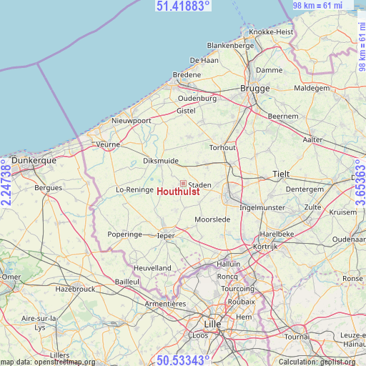
Houthulst GPS coordinates[2]
50° 58' 41.664" North, 2° 57' 1.8" East
| Map corner | latitude | longitude |
|---|---|---|
| Upper-left | 51.41883°, | 2.24738° |
| Center: | 50.97824°, | 2.9505° |
| Lower-right: | 50.53343°, | 3.65363° |
| Map W x H: | 98.4×98.4 km | = 61.1×61.1mi |
| max Lat: | 51.46791° ⇑31.9% North |
| Houthulst: | 50.97824° |
| min Lat: | ⇓68.1% South 49.53771° |
| min Long | Houthulst | max Long |
| 2.59368° | 2.9505° | 6.25749° |
| W 2.3%⇐ | ⇒97.7% E |
Elevation
Elevation of Houthulst is 18 m = 59 ft, and this is 81.5 m = 267 ft below average elevation for this country.
| Max E: |
582 m = 1909 ft | 74.9% |
| Avg. | 99.5 m = 326 ft | |
| Houthulst | 18 m = 59 ft | |
Min E: |
1 m = 3 ft | 25.1% |
See also: Belgium elevation on elevation.city.
Geographical zone
Houthulst is located in North temperate zone (between Tropic of Cancer and the Arctic Circle). Distance of this North polar circle is 1732.9 km =1076.8 mi to North.| Distance of | km | miles | from Houthulst |
|---|---|---|---|
| North Pole | 4338.8 | 2696 | to North |
| Arctic Circle | 1732.9 | 1076.8 | to North |
| Tropic Cancer | 3062.3 | 1902.8 | to South |
| Equator | 5668.2 | 3522.1 | to South |


Nearby cities:
15 places around Houthulst: (largest is in red/bold)
• Alveringem
17.2 km =10.7 mi,  282°
282°
• Ardooie
17.3 km =10.7 mi,  90°
90°
• Diksmuide
8.6 km =5.3 mi,  314°
314°
• Hooglede
9.3 km =5.8 mi, 86°
• Ichtegem
13.8 km =8.6 mi,  19°
19°
• Ieper
14.8 km =9.2 mi,  197°
197°
• Koekelare
12.6 km =7.8 mi,  8°
8°
• Kortemark
8.5 km =5.3 mi,  48°
48°
• Ledegem
18.1 km =11.2 mi,  137°
137°
• Lichtervelde
15.2 km =9.4 mi,  66°
66°
• Moorslede
12.3 km =7.6 mi, 141°
• Roeselare
12.6 km =7.8 mi,  106°
106°
• Staden
4.5 km =2.8 mi,  95°
95°
• Torhout
14.3 km =8.9 mi, 47°
• Zonnebeke
12 km =7.5 mi,  167°
167°
Sources, notices
• [Note1] Compared only with cities in Belgium existing in our database
• [Src1] Map data: © OpenStreetMap contributors (CC-BY-SA)
• [Src2] Other city data from geonames.org with taken over terms of usage.
• [Src3] Geographical zone / Annual Mean Temperature by Robert A. Rohde @ Wikipedia
