Sarzedo geodata
Sarzedo (Minas Gerais) is a populated place; located in Brazil in America/Sao_Paulo (GMT-3) time zone. With population of 20,798 people, there are 913 cities with bigger population in this country. Compared to other cities in Brazil, 57.4% of cities are located further ↑North; 55.1% of cities are located further ←West and 88.9% of cities have lower elevation than Sarzedo. Note1


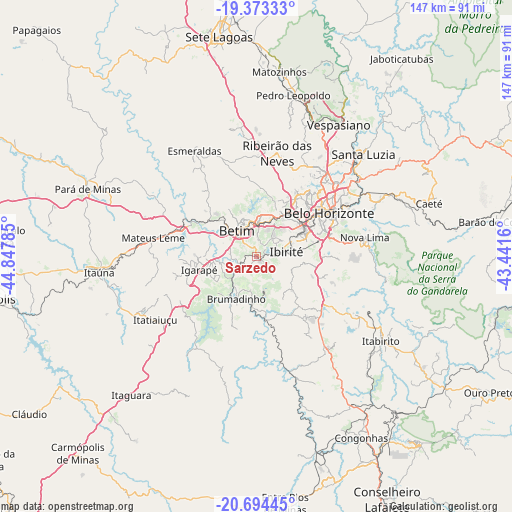
Sarzedo GPS coordinates[2]
20° 2' 7.008" South, 44° 8' 40.992" West
| Map corner | latitude | longitude |
|---|---|---|
| Upper-left | -19.37333°, | -44.84785° |
| Center: | -20.03528°, | -44.14472° |
| Lower-right: | -20.69445°, | -43.4416° |
| Map W x H: | 146.9×146.9 km | = 91.3×91.3mi |
| max Lat: | 2.81972° ⇑57.4% North |
| Sarzedo: | -20.03528° |
| min Lat: | ⇓42.6% South -33.69111° |
| min Long | Sarzedo | max Long |
| -72.89583° | -44.14472° | -32.41083° |
| W 55.1%⇐ | ⇒44.9% E |
Elevation
Elevation of Sarzedo is 795 m = 2608 ft, and this is 414.1 m = 1359 ft above average elevation for this country.
| Max E: |
1603 m = 5259 ft | 11.1% |
| Sarzedo | 795 m 2608 ft | |
| Avg. | 380.9 m = 1250 ft | |
Min E: |
0 m = 0 ft | 88.9% |
See also: Brazil elevation on elevation.city.
Geographical zone
Sarzedo is located in South Torrid zone (between Equator and Tropic of Capricorn). Distance of this Southern Tropic circle is 378.2 km =235 mi to South.| Distance of | km | miles | from Sarzedo |
|---|---|---|---|
| Equator | 2227.7 | 1384.2 | to North |
| Tropic Capricorn | 378.2 | 235 | to South |
| Antarctic Circle | 5173.5 | 3214.7 | to South |
| South Pole | 7779.3 | 4833.8 | to South |


Nearby cities:
15 places around Sarzedo: (largest is in red/bold)
• Belo Horizonte
25.1 km =15.6 mi,  59°
59°
• Betim
9.4 km =5.8 mi,  323°
323°
• Brumadinho
13.3 km =8.3 mi,  205°
205°
• Contagem
14.9 km =9.3 mi,  39°
39°
• Esmeraldas
35.1 km =21.8 mi,  329°
329°
• Ibirité
9.1 km =5.7 mi,  80°
80°
• Igarapé
16.8 km =10.4 mi,  256°
256°
• Itabirito
43.3 km =26.9 mi,  124°
124°
• Juatuba
22.7 km =14.1 mi,  294°
294°
• Mateus Leme
30.1 km =18.7 mi,  280°
280°
• Nova Lima
31.6 km =19.6 mi, 79°
• Raposos
36.4 km =22.6 mi, 77°
• Ribeirão das Neves
30.4 km =18.9 mi,  11°
11°
• Santa Luzia
42.6 km =26.5 mi,  46°
46°
• São Joaquim de Bicas
13.6 km =8.5 mi, 263°
Sources, notices
• [Note1] Compared only with cities in Brazil existing in our database
• [Src1] Map data: © OpenStreetMap contributors (CC-BY-SA)
• [Src2] Other city data from geonames.org with taken over terms of usage.
• [Src3] Geographical zone / Annual Mean Temperature by Robert A. Rohde @ Wikipedia
