Mâncio Lima geodata
Mâncio Lima (Acre) is a populated place; located in Brazil in America/Rio_Branco (GMT-5) time zone. With population of 7,086 people, there are 1823 cities with bigger population in this country. Compared to other cities in Brazil, 77% of cities are located further ↓South; 100% of cities are located further →East and 62.4% of cities have higher elevation than Mâncio Lima. Note1


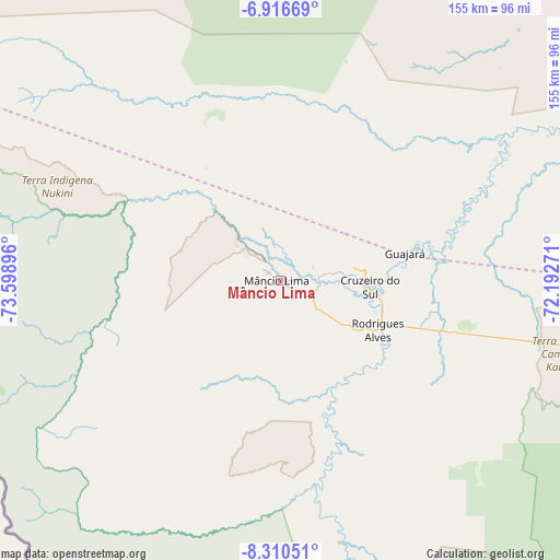
Mâncio Lima GPS coordinates[2]
7° 36' 51.012" South, 72° 53' 44.988" West
| Map corner | latitude | longitude |
|---|---|---|
| Upper-left | -6.91669°, | -73.59896° |
| Center: | -7.61417°, | -72.89583° |
| Lower-right: | -8.31051°, | -72.19271° |
| Map W x H: | 155×155 km | = 96.3×96.3mi |
| max Lat: | 2.81972° ⇑23% North |
| Mâncio Lima: | -7.61417° |
| min Lat: | ⇓77% South -33.69111° |
| min Long | Mâncio Lima | max Long |
| -72.89583° | -72.89583° | -32.41083° |
| W 0%⇐ | ⇒100% E |
Elevation
Elevation of Mâncio Lima is 189 m = 620 ft, and this is 191.9 m = 630 ft below average elevation for this country.
| Max E: |
1603 m = 5259 ft | 62.4% |
| Avg. | 380.9 m = 1250 ft | |
| Mâncio Lima | 189 m = 620 ft | |
Min E: |
0 m = 0 ft | 37.6% |
See also: Brazil elevation on elevation.city.
Geographical zone
Mâncio Lima is located in South Torrid zone (between Equator and Tropic of Capricorn). Distance of Equator is 846.6 km =526.1 mi to North.| Distance of | km | miles | from Mâncio Lima |
|---|---|---|---|
| Equator | 846.6 | 526.1 | to North |
| Tropic Capricorn | 1759.3 | 1093.2 | to South |
| Antarctic Circle | 6554.6 | 4072.8 | to South |
| South Pole | 9160.4 | 5692 | to South |


Nearby cities:
8 places around Mâncio Lima: (largest is in red/bold)
• Cruzeiro do Sul
24.1 km =15 mi,  93°
93°
• Eirunepé
349.9 km =217.4 mi,  72°
72°
• Envira
297.4 km =184.8 mi,  83°
83°
• Feijó
286.5 km =178 mi,  102°
102°
• Manoel Urbano
422.7 km =262.7 mi,  108°
108°
• Marechal Thaumaturgo
148 km =92 mi,  175°
175°
• Porto Walter
74.7 km =46.4 mi,  167°
167°
• Tarauacá
242.4 km =150.6 mi, 104°
Sources, notices
• [Note1] Compared only with cities in Brazil existing in our database
• [Src1] Map data: © OpenStreetMap contributors (CC-BY-SA)
• [Src2] Other city data from geonames.org with taken over terms of usage.
• [Src3] Geographical zone / Annual Mean Temperature by Robert A. Rohde @ Wikipedia
