Balbasava geodata
Balbasava (Vitebsk) is a populated place; located in Belarus in Europe/Minsk (GMT+3) time zone. With population of 3,600 people, there are 151 cities with bigger population in this country. Compared to other cities in Belarus, 83.6% of cities are located further ↓South; 84.2% of cities are located further ←West and 85.2% of cities have lower elevation than Balbasava. Note1


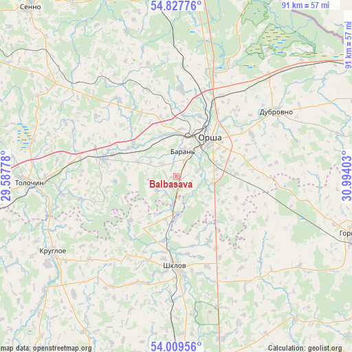
Balbasava GPS coordinates[2]
54° 25' 14.52" North, 30° 17' 27.24" East
| Map corner | latitude | longitude |
|---|---|---|
| Upper-left | 54.82776°, | 29.58778° |
| Center: | 54.4207°, | 30.2909° |
| Lower-right: | 54.00956°, | 30.99403° |
| Map W x H: | 91×91 km | = 56.5×56.5mi |
| max Lat: | 56.0147° ⇑16.4% North |
| Balbasava: | 54.4207° |
| min Lat: | ⇓83.6% South 51.75° |
| min Long | Balbasava | max Long |
| 23.37083° | 30.2909° | 32.578° |
| W 84.2%⇐ | ⇒15.8% E |
Elevation
Elevation of Balbasava is 202 m = 663 ft, and this is 33.4 m = 110 ft above average elevation for this country.
| Max E: |
309 m = 1014 ft | 14.8% |
| Balbasava | 202 m 663 ft | |
| Avg. | 168.6 m = 553 ft | |
Min E: |
108 m = 354 ft | 85.2% |
See also: Belarus elevation on elevation.city.
Geographical zone
Balbasava is located in North temperate zone (between Tropic of Cancer and the Arctic Circle). Distance of this North polar circle is 1350.2 km =839 mi to North.| Distance of | km | miles | from Balbasava |
|---|---|---|---|
| North Pole | 3956 | 2458.1 | to North |
| Arctic Circle | 1350.2 | 839 | to North |
| Tropic Cancer | 3445.1 | 2140.7 | to South |
| Equator | 6051 | 3759.9 | to South |


Nearby cities:
15 places around Balbasava: (largest is in red/bold)
• Baran’
6.6 km =4.1 mi,  14°
14°
• Dubrowna
30.8 km =19.1 mi,  56°
56°
• Haradzishcha
33.6 km =20.9 mi,  140°
140°
• Horad Orsha
12.9 km =8 mi,  35°
35°
• Kamyennyya Lavy
36.8 km =22.9 mi,  179°
179°
• Kokhanava
19.2 km =11.9 mi,  283°
283°
• Komsyenichy
40.2 km =25 mi,  221°
221°
• Kopys’
11 km =6.8 mi, 180°
• Kruhlaye
37.2 km =23.1 mi,  239°
239°
• Lotva
35.6 km =22.1 mi, 182°
• Myezhava
23 km =14.3 mi,  2°
2°
• Orsha
12.7 km =7.9 mi, 40°
• Shklow
23.1 km =14.4 mi, 180°
• Smolyany
24.2 km =15 mi,  324°
324°
• Talachyn
38.5 km =23.9 mi,  268°
268°
Sources, notices
• [Note1] Compared only with cities in Belarus existing in our database
• [Src1] Map data: © OpenStreetMap contributors (CC-BY-SA)
• [Src2] Other city data from geonames.org with taken over terms of usage.
• [Src3] Geographical zone / Annual Mean Temperature by Robert A. Rohde @ Wikipedia
