Rosetown geodata
Rosetown (Saskatchewan) is a populated place; located in Canada in America/Regina (GMT-6) time zone. With population of 2,309 people, there are 703 cities with bigger population in this country. Compared to other cities in Canada, 84.4% of cities are located further ↓South; 73.8% of cities are located further →East and 85.9% of cities have lower elevation than Rosetown. Note1


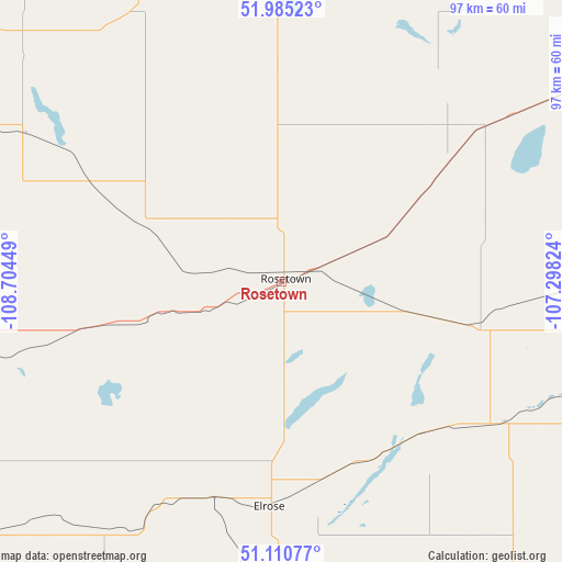
Rosetown GPS coordinates[2]
51° 33' 0.36" North, 108° 0' 4.896" West
| Map corner | latitude | longitude |
|---|---|---|
| Upper-left | 51.98523°, | -108.70449° |
| Center: | 51.5501°, | -108.00136° |
| Lower-right: | 51.11077°, | -107.29824° |
| Map W x H: | 97.2×97.2 km | = 60.4×60.4mi |
| max Lat: | 73.03752° ⇑15.6% North |
| Rosetown: | 51.5501° |
| min Lat: | ⇓84.4% South 42.05009° |
| min Long | Rosetown | max Long |
| -139.43328° | -108.00136° | -52.70931° |
| W 26.2%⇐ | ⇒73.8% E |
Elevation
Elevation of Rosetown is 583 m = 1913 ft, and this is 328.6 m = 1078 ft above average elevation for this country.
| Max E: |
1518 m = 4980 ft | 14.1% |
| Rosetown | 583 m 1913 ft | |
| Avg. | 254.4 m = 835 ft | |
Min E: |
-2 m = -7 ft | 85.9% |
See also: Canada elevation on elevation.city.
Geographical zone
Rosetown is located in North temperate zone (between Tropic of Cancer and the Arctic Circle). Distance of this North polar circle is 1669.3 km =1037.3 mi to North.| Distance of | km | miles | from Rosetown |
|---|---|---|---|
| North Pole | 4275.2 | 2656.5 | to North |
| Arctic Circle | 1669.3 | 1037.3 | to North |
| Tropic Cancer | 3125.9 | 1942.3 | to South |
| Equator | 5731.8 | 3561.6 | to South |


Nearby cities:
15 places around Rosetown: (largest is in red/bold)
• Biggar
57.5 km =35.7 mi,  0°
0°
• Dalmeny
121.4 km =75.4 mi,  44°
44°
• Davidson
143.4 km =89.1 mi,  102°
102°
• Eston
68.5 km =42.6 mi,  229°
229°
• Kerrobert
88.1 km =54.7 mi,  297°
297°
• Kindersley
81.3 km =50.5 mi,  263°
263°
• Langham
115.2 km =71.6 mi, 37°
• Martensville
122.5 km =76.1 mi,  48°
48°
• North Battleford
138.2 km =85.9 mi,  351°
351°
• Outlook
66 km =41 mi,  94°
94°
• Saskatoon
112.1 km =69.7 mi, 54°
• Swift Current
141.5 km =87.9 mi,  174°
174°
• Unity
128 km =79.5 mi,  321°
321°
• Warman
130.1 km =80.8 mi, 49°
• Wilkie
107.6 km =66.9 mi,  333°
333°
Sources, notices
• [Note1] Compared only with cities in Canada existing in our database
• [Src1] Map data: © OpenStreetMap contributors (CC-BY-SA)
• [Src2] Other city data from geonames.org with taken over terms of usage.
• [Src3] Geographical zone / Annual Mean Temperature by Robert A. Rohde @ Wikipedia
