Waverley geodata
Waverley (Nova Scotia) is a populated place; located in Canada in America/Halifax (GMT-3) time zone. With population of 813 people, there are 1097 cities with bigger population in this country. Compared to other cities in Canada, 85.6% of cities are located further ↑North; 94.8% of cities are located further ←West and 83.8% of cities have higher elevation than Waverley. Note1


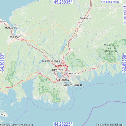
Waverley GPS coordinates[2]
44° 47' 0.42" North, 63° 35' 55.32" West
| Map corner | latitude | longitude |
|---|---|---|
| Upper-left | 45.28035°, | -64.30183° |
| Center: | 44.78345°, | -63.5987° |
| Lower-right: | 44.28223°, | -62.89558° |
| Map W x H: | 111×111 km | = 69×69mi |
| max Lat: | 73.03752° ⇑85.6% North |
| Waverley: | 44.78345° |
| min Lat: | ⇓14.4% South 42.05009° |
| min Long | Waverley | max Long |
| -139.43328° | -63.5987° | -52.70931° |
| W 94.8%⇐ | ⇒5.2% E |
Elevation
Elevation of Waverley is 25 m = 82 ft, and this is 229.4 m = 753 ft below average elevation for this country.
| Max E: |
1518 m = 4980 ft | 83.8% |
| Avg. | 254.4 m = 835 ft | |
| Waverley | 25 m = 82 ft | |
Min E: |
-2 m = -7 ft | 16.2% |
See also: Canada elevation on elevation.city.
Geographical zone
Waverley is located in North temperate zone (between Tropic of Cancer and the Arctic Circle). Distance of this Northern Tropic circle is 2373.5 km =1474.8 mi to South.| Distance of | km | miles | from Waverley |
|---|---|---|---|
| North Pole | 5027.6 | 3124 | to North |
| Arctic Circle | 2421.7 | 1504.8 | to North |
| Tropic Cancer | 2373.5 | 1474.8 | to South |
| Equator | 4979.5 | 3094.1 | to South |


Nearby cities:
15 places around Waverley: (largest is in red/bold)
• Boutiliers Point
30.7 km =19.1 mi,  244°
244°
• Chester
57.3 km =35.6 mi, 242°
• Cole Harbour
15.7 km =9.8 mi,  141°
141°
• Cow Bay
21.4 km =13.3 mi, 142°
• Dartmouth
12.6 km =7.8 mi,  172°
172°
• English Corner
15.5 km =9.6 mi,  248°
248°
• Fall River
3.9 km =2.4 mi,  340°
340°
• Halifax
15.5 km =9.6 mi, 172°
• Hantsport
54.6 km =33.9 mi,  305°
305°
• Lake Echo
18 km =11.2 mi,  107°
107°
• Lantz
24.1 km =15 mi,  22°
22°
• Lower Sackville
6.4 km =4 mi,  262°
262°
• Terence Bay
36.2 km =22.5 mi,  195°
195°
• Windsor
47.5 km =29.5 mi,  297°
297°
• Wolfville
69 km =42.9 mi, 298°
Sources, notices
• [Note1] Compared only with cities in Canada existing in our database
• [Src1] Map data: © OpenStreetMap contributors (CC-BY-SA)
• [Src2] Other city data from geonames.org with taken over terms of usage.
• [Src3] Geographical zone / Annual Mean Temperature by Robert A. Rohde @ Wikipedia
