Untervaz geodata
Untervaz (Grisons) is a populated place; located in Switzerland in Europe/Zurich (GMT+2) time zone. With population of 2,303 people, there are 740 cities with bigger population in this country. Compared to other cities in Switzerland, 68% of cities are located further ↑North; 97.1% of cities are located further ←West and 70.3% of cities have lower elevation than Untervaz. Note1


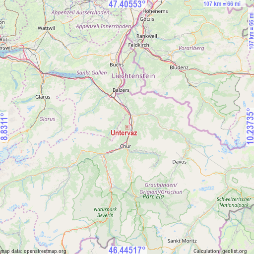
Untervaz GPS coordinates[2]
46° 55' 39" North, 9° 32' 3.192" East
| Map corner | latitude | longitude |
|---|---|---|
| Upper-left | 47.40553°, | 8.8311° |
| Center: | 46.9275°, | 9.53422° |
| Lower-right: | 46.44517°, | 10.23735° |
| Map W x H: | 106.8×106.8 km | = 66.4×66.4mi |
| max Lat: | 47.76737° ⇑68% North |
| Untervaz: | 46.9275° |
| min Lat: | ⇓32% South 45.83203° |
| min Long | Untervaz | max Long |
| 5.97153° | 9.53422° | 10.44624° |
| W 97.1%⇐ | ⇒2.9% E |
Elevation
Elevation of Untervaz is 573 m = 1880 ft, and this is 14.8 m = 49 ft above average elevation for this country.
| Max E: |
1845 m = 6053 ft | 29.7% |
| Untervaz | 573 m 1880 ft | |
| Avg. | 558.2 m = 1831 ft | |
Min E: |
197 m = 646 ft | 70.3% |
See also: Switzerland elevation on elevation.city.
Geographical zone
Untervaz is located in North temperate zone (between Tropic of Cancer and the Arctic Circle). Distance of this North polar circle is 2183.3 km =1356.6 mi to North.| Distance of | km | miles | from Untervaz |
|---|---|---|---|
| North Pole | 4789.2 | 2975.9 | to North |
| Arctic Circle | 2183.3 | 1356.6 | to North |
| Tropic Cancer | 2611.9 | 1623 | to South |
| Equator | 5217.8 | 3242.2 | to South |


Nearby cities:
15 places around Untervaz: (largest is in red/bold)
• Bad Ragaz
9.1 km =5.7 mi,  344°
344°
• Chur
8.6 km =5.3 mi,  180°
180°
• Felsberg
10.1 km =6.3 mi,  205°
205°
• Fläsch
11 km =6.8 mi,  351°
351°
• Grüsch
10.3 km =6.4 mi,  55°
55°
• Haldenstein
5.5 km =3.4 mi,  186°
186°
• Igis
3.5 km =2.2 mi, 55°
• Jenins
8.4 km =5.2 mi,  11°
11°
• Landquart
3.5 km =2.2 mi,  44°
44°
• Maienfeld
8.6 km =5.3 mi,  358°
358°
• Malans
6.7 km =4.2 mi,  27°
27°
• Mastrils
4.8 km =3 mi, 9°
• Röfels
9.2 km =5.7 mi,  4°
4°
• Trimmis
3.6 km =2.2 mi,  145°
145°
• Zizers
2.5 km =1.6 mi,  68°
68°
Sources, notices
• [Note1] Compared only with cities in Switzerland existing in our database
• [Src1] Map data: © OpenStreetMap contributors (CC-BY-SA)
• [Src2] Other city data from geonames.org with taken over terms of usage.
• [Src3] Geographical zone / Annual Mean Temperature by Robert A. Rohde @ Wikipedia
