Corgémont geodata
Corgémont (Bern) is a populated place; located in Switzerland in Europe/Zurich (GMT+2) time zone. With population of 1,503 people, there are 1034 cities with bigger population in this country. Compared to other cities in Switzerland, 53.2% of cities are located further ↑North; 83.6% of cities are located further →East and 80.4% of cities have lower elevation than Corgémont. Note1


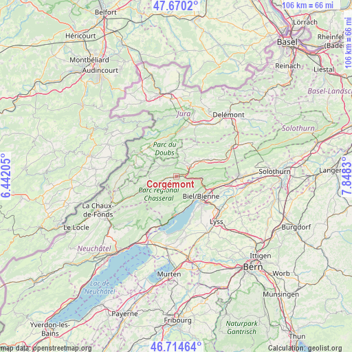
Corgémont GPS coordinates[2]
47° 11' 40.452" North, 7° 8' 42.612" East
| Map corner | latitude | longitude |
|---|---|---|
| Upper-left | 47.6702°, | 6.44205° |
| Center: | 47.19457°, | 7.14517° |
| Lower-right: | 46.71464°, | 7.8483° |
| Map W x H: | 106.2×106.2 km | = 66×66mi |
| max Lat: | 47.76737° ⇑53.2% North |
| Corgémont: | 47.19457° |
| min Lat: | ⇓46.8% South 45.83203° |
| min Long | Corgémont | max Long |
| 5.97153° | 7.14517° | 10.44624° |
| W 16.4%⇐ | ⇒83.6% E |
Elevation
Elevation of Corgémont is 666 m = 2185 ft, and this is 107.8 m = 354 ft above average elevation for this country.
| Max E: |
1845 m = 6053 ft | 19.6% |
| Corgémont | 666 m 2185 ft | |
| Avg. | 558.2 m = 1831 ft | |
Min E: |
197 m = 646 ft | 80.4% |
See also: Switzerland elevation on elevation.city.
Geographical zone
Corgémont is located in North temperate zone (between Tropic of Cancer and the Arctic Circle). Distance of this North polar circle is 2153.6 km =1338.2 mi to North.| Distance of | km | miles | from Corgémont |
|---|---|---|---|
| North Pole | 4759.5 | 2957.4 | to North |
| Arctic Circle | 2153.6 | 1338.2 | to North |
| Tropic Cancer | 2641.6 | 1641.4 | to South |
| Equator | 5247.5 | 3260.6 | to South |


Nearby cities:
15 places around Corgémont: (largest is in red/bold)
• Biel/Bienne
9.9 km =6.2 mi,  129°
129°
• Courtelary
5.8 km =3.6 mi,  251°
251°
• Evilard
8.6 km =5.3 mi,  124°
124°
• Lajoux
9.4 km =5.8 mi,  356°
356°
• Lamboing
8.7 km =5.4 mi,  185°
185°
• Magglingen
8.1 km =5 mi,  139°
139°
• Nidau
10.5 km =6.5 mi, 136°
• Nods
10.1 km =6.3 mi,  209°
209°
• Orvin
6.4 km =4 mi, 126°
• Péry
7.9 km =4.9 mi,  90°
90°
• Reconvilier
7.3 km =4.5 mi,  52°
52°
• Saicourt
7.1 km =4.4 mi,  40°
40°
• Tavannes
4.9 km =3 mi, 53°
• Tramelan
4.5 km =2.8 mi,  314°
314°
• Villeret
10.4 km =6.5 mi, 247°
Sources, notices
• [Note1] Compared only with cities in Switzerland existing in our database
• [Src1] Map data: © OpenStreetMap contributors (CC-BY-SA)
• [Src2] Other city data from geonames.org with taken over terms of usage.
• [Src3] Geographical zone / Annual Mean Temperature by Robert A. Rohde @ Wikipedia
