Buseno geodata
Buseno (Grisons) is a seat of a third-order administrative division; located in Switzerland in Europe/Zurich (GMT+2) time zone. With population of 90 people, there are 1821 cities with bigger population in this country. Compared to other cities in Switzerland, 91.7% of cities are located further ↑North; 91.1% of cities are located further ←West and 87% of cities have lower elevation than Buseno. Note1


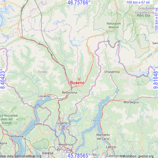
Buseno GPS coordinates[2]
46° 16' 25.716" North, 9° 6' 26.46" East
| Map corner | latitude | longitude |
|---|---|---|
| Upper-left | 46.75766°, | 8.40423° |
| Center: | 46.27381°, | 9.10735° |
| Lower-right: | 45.78565°, | 9.81048° |
| Map W x H: | 108.1×108.1 km | = 67.2×67.2mi |
| max Lat: | 47.76737° ⇑91.7% North |
| Buseno: | 46.27381° |
| min Lat: | ⇓8.3% South 45.83203° |
| min Long | Buseno | max Long |
| 5.97153° | 9.10735° | 10.44624° |
| W 91.1%⇐ | ⇒8.9% E |
Elevation
Elevation of Buseno is 764 m = 2507 ft, and this is 205.8 m = 675 ft above average elevation for this country.
| Max E: |
1845 m = 6053 ft | 13% |
| Buseno | 764 m 2507 ft | |
| Avg. | 558.2 m = 1831 ft | |
Min E: |
197 m = 646 ft | 87% |
See also: Switzerland elevation on elevation.city.
Geographical zone
Buseno is located in North temperate zone (between Tropic of Cancer and the Arctic Circle). Distance of this North polar circle is 2256 km =1401.8 mi to North.| Distance of | km | miles | from Buseno |
|---|---|---|---|
| North Pole | 4861.9 | 3021 | to North |
| Arctic Circle | 2256 | 1401.8 | to North |
| Tropic Cancer | 2539.2 | 1577.8 | to South |
| Equator | 5145.2 | 3197.1 | to South |


Nearby cities:
15 places around Buseno: (largest is in red/bold)
• Arvigo
3.2 km =2 mi,  7°
7°
• Bellinzona
11.4 km =7.1 mi,  217°
217°
• Braggio
3.5 km =2.2 mi,  21°
21°
• Cauco
6.9 km =4.3 mi, 8°
• Claro
6.8 km =4.2 mi,  254°
254°
• Cresciano
8.1 km =5 mi,  273°
273°
• Gnosca
7.9 km =4.9 mi,  235°
235°
• Gorduno
8.7 km =5.4 mi, 222°
• Grono
4.2 km =2.6 mi,  132°
132°
• Lodrino
10.2 km =6.3 mi,  286°
286°
• Lostallo
8.1 km =5 mi,  57°
57°
• Lumino
5.9 km =3.7 mi,  214°
214°
• Osogna
10.3 km =6.4 mi, 294°
• San Vittore
4.1 km =2.5 mi,  180°
180°
• Santa Maria in Calanca
3.1 km =1.9 mi,  112°
112°
Sources, notices
• [Note1] Compared only with cities in Switzerland existing in our database
• [Src1] Map data: © OpenStreetMap contributors (CC-BY-SA)
• [Src2] Other city data from geonames.org with taken over terms of usage.
• [Src3] Geographical zone / Annual Mean Temperature by Robert A. Rohde @ Wikipedia
