Beinwil geodata
Beinwil (Aargau) is a populated place; located in Switzerland in Europe/Zurich (GMT+2) time zone. With population of 957 people, there are 1366 cities with bigger population in this country. Compared to other cities in Switzerland, 53% of cities are located further ↓South; 55.4% of cities are located further →East and 66.8% of cities have lower elevation than Beinwil. Note1


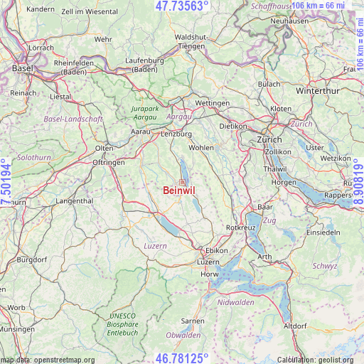
Beinwil GPS coordinates[2]
47° 15' 38.124" North, 8° 12' 18.216" East
| Map corner | latitude | longitude |
|---|---|---|
| Upper-left | 47.73563°, | 7.50194° |
| Center: | 47.26059°, | 8.20506° |
| Lower-right: | 46.78125°, | 8.90819° |
| Map W x H: | 106.1×106.1 km | = 65.9×65.9mi |
| max Lat: | 47.76737° ⇑47% North |
| Beinwil: | 47.26059° |
| min Lat: | ⇓53% South 45.83203° |
| min Long | Beinwil | max Long |
| 5.97153° | 8.20506° | 10.44624° |
| W 44.6%⇐ | ⇒55.4% E |
Elevation
Elevation of Beinwil is 556 m = 1824 ft, and this is 2.2 m = 7 ft below average elevation for this country.
| Max E: |
1845 m = 6053 ft | 33.2% |
| Avg. | 558.2 m = 1831 ft | |
| Beinwil | 556 m = 1824 ft | |
Min E: |
197 m = 646 ft | 66.8% |
See also: Switzerland elevation on elevation.city.
Geographical zone
Beinwil is located in North temperate zone (between Tropic of Cancer and the Arctic Circle). Distance of this North polar circle is 2146.3 km =1333.6 mi to North.| Distance of | km | miles | from Beinwil |
|---|---|---|---|
| North Pole | 4752.2 | 2952.9 | to North |
| Arctic Circle | 2146.3 | 1333.6 | to North |
| Tropic Cancer | 2649 | 1646 | to South |
| Equator | 5254.9 | 3265.2 | to South |


Nearby cities:
15 places around Beinwil: (largest is in red/bold)
• Aesch
2.7 km =1.7 mi,  99°
99°
• Beromünster
6.1 km =3.8 mi,  188°
188°
• Birrwil
3.4 km =2.1 mi,  350°
350°
• Boniswil
6.4 km =4 mi, 349°
• Gelfingen
6.9 km =4.3 mi,  138°
138°
• Gontenschwil
4.8 km =3 mi,  284°
284°
• Gunzwil
5.9 km =3.7 mi,  199°
199°
• Hitzkirch
6 km =3.7 mi,  132°
132°
• Leutwil
6 km =3.7 mi,  336°
336°
• Meisterschwanden
4.2 km =2.6 mi,  25°
25°
• Menziken
2.6 km =1.6 mi,  206°
206°
• Pfeffikon
2.5 km =1.6 mi,  236°
236°
• Reinach
1.9 km =1.2 mi,  258°
258°
• Sarmenstorf
6.5 km =4 mi, 30°
• Seengen
7.2 km =4.5 mi,  1°
1°
Sources, notices
• [Note1] Compared only with cities in Switzerland existing in our database
• [Src1] Map data: © OpenStreetMap contributors (CC-BY-SA)
• [Src2] Other city data from geonames.org with taken over terms of usage.
• [Src3] Geographical zone / Annual Mean Temperature by Robert A. Rohde @ Wikipedia
