Zhongchi geodata
Zhongchi (Fujian) is a seat of a fourth-order administrative division; located in China in Asia/Shanghai (GMT+8) time zone. In our database, there are 1268 cities with bigger population. Compared to other cities in China, 86.7% of cities are located further ↑North; 60.8% of cities are located further ←West and 56.1% of cities have lower elevation than Zhongchi. Note1


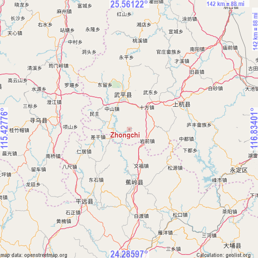
Zhongchi GPS coordinates[2]
24° 55' 30.864" North, 116° 7' 51.168" East
| Map corner | latitude | longitude |
|---|---|---|
| Upper-left | 25.56122°, | 115.42776° |
| Center: | 24.92524°, | 116.13088° |
| Lower-right: | 24.28597°, | 116.83401° |
| Map W x H: | 141.8×141.8 km | = 88.1×88.1mi |
| max Lat: | 53.31946° ⇑86.7% North |
| Zhongchi: | 24.92524° |
| min Lat: | ⇓13.3% South 18.22056° |
| min Long | Zhongchi | max Long |
| 75.07348° | 116.13088° | 134.28917° |
| W 60.8%⇐ | ⇒39.2% E |
Elevation
Elevation of Zhongchi is 217 m = 712 ft, and this is 267.8 m = 879 ft below average elevation for this country.
| Max E: |
5622 m = 18445 ft | 43.9% |
| Avg. | 484.8 m = 1591 ft | |
| Zhongchi | 217 m = 712 ft | |
Min E: |
-3 m = -10 ft | 56.1% |
See also: China elevation on elevation.city.
Geographical zone
Zhongchi is located in North temperate zone (between Tropic of Cancer and the Arctic Circle). Distance of this Northern Tropic circle is 165.5 km =102.8 mi to South.| Distance of | km | miles | from Zhongchi |
|---|---|---|---|
| North Pole | 7235.6 | 4496 | to North |
| Arctic Circle | 4629.7 | 2876.8 | to North |
| Tropic Cancer | 165.5 | 102.8 | to South |
| Equator | 2771.4 | 1722.1 | to South |


Nearby cities:
15 places around Zhongchi: (largest is in red/bold)
• Chagan
17.9 km =11.1 mi,  256°
256°
• Guangfu
11.7 km =7.3 mi,  154°
154°
• Huyang
23.1 km =14.4 mi,  55°
55°
• Laocheng
14.9 km =9.3 mi,  319°
319°
• Minzhu
21.1 km =13.1 mi,  294°
294°
• Pingchuan
19.1 km =11.9 mi,  349°
349°
• Qifang
19.7 km =12.2 mi, 350°
• Shangju
21.2 km =13.2 mi,  223°
223°
• Shifang
15.4 km =9.6 mi,  37°
37°
• Sishui
21.8 km =13.5 mi,  208°
208°
• Wenfu
21 km =13 mi,  161°
161°
• Wudong
23.5 km =14.6 mi,  29°
29°
• Xiaba
10.7 km =6.6 mi,  241°
241°
• Xiangdong
19.8 km =12.3 mi,  90°
90°
• Yanqian
11.2 km =7 mi,  123°
123°
Sources, notices
• [Note1] Compared only with cities in China existing in our database
• [Src1] Map data: © OpenStreetMap contributors (CC-BY-SA)
• [Src2] Other city data from geonames.org with taken over terms of usage.
• [Src3] Geographical zone / Annual Mean Temperature by Robert A. Rohde @ Wikipedia
