Zhangjiachuan geodata
Zhangjiachuan (Gansu) is a seat of a third-order administrative division; located in China in Asia/Shanghai (GMT+8) time zone. In our database, there are 1268 cities with bigger population. Compared to other cities in China, 75% of cities are located further ↓South; 86.1% of cities are located further →East and 92.7% of cities have lower elevation than Zhangjiachuan. Note1


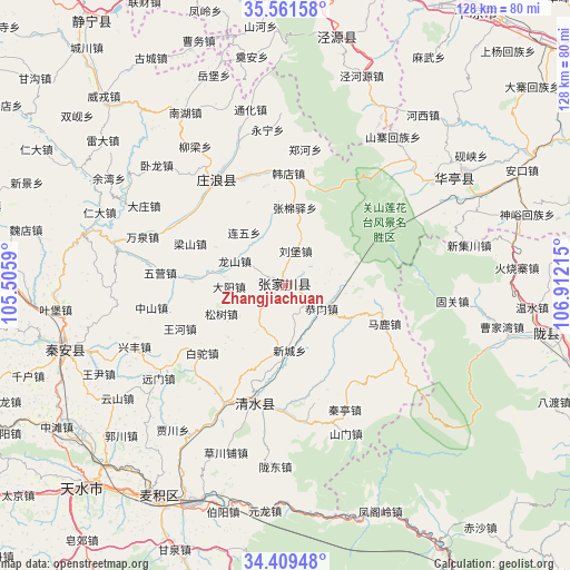
Zhangjiachuan GPS coordinates[2]
34° 59' 15.216" North, 106° 12' 32.472" East
| Map corner | latitude | longitude |
|---|---|---|
| Upper-left | 35.56158°, | 105.5059° |
| Center: | 34.98756°, | 106.20902° |
| Lower-right: | 34.40948°, | 106.91215° |
| Map W x H: | 128.1×128.1 km | = 79.6×79.6mi |
| max Lat: | 53.31946° ⇑25% North |
| Zhangjiachuan: | 34.98756° |
| min Lat: | ⇓75% South 18.22056° |
| min Long | Zhangjiachuan | max Long |
| 75.07348° | 106.20902° | 134.28917° |
| W 13.9%⇐ | ⇒86.1% E |
Elevation
Elevation of Zhangjiachuan is 1671 m = 5482 ft, and this is 1186.2 m = 3892 ft above average elevation for this country.
| Max E: |
5622 m = 18445 ft | 7.3% |
| Zhangjiachuan | 1671 m 5482 ft | |
| Avg. | 484.8 m = 1591 ft | |
Min E: |
-3 m = -10 ft | 92.7% |
See also: China elevation on elevation.city.
Geographical zone
Zhangjiachuan is located in North temperate zone (between Tropic of Cancer and the Arctic Circle). Distance of this Northern Tropic circle is 1284.3 km =798 mi to South.| Distance of | km | miles | from Zhangjiachuan |
|---|---|---|---|
| North Pole | 6116.8 | 3800.8 | to North |
| Arctic Circle | 3510.9 | 2181.6 | to North |
| Tropic Cancer | 1284.3 | 798 | to South |
| Equator | 3890.3 | 2417.3 | to South |


Nearby cities:
15 places around Zhangjiachuan: (largest is in red/bold)
• Beidao
54.8 km =34.1 mi,  211°
211°
• Donghua
47.7 km =29.6 mi,  57°
57°
• Haodi
41 km =25.5 mi,  272°
272°
• Liangshan
23.4 km =14.5 mi,  293°
293°
• Lianhua
38.9 km =24.2 mi,  282°
282°
• Lidian
54.4 km =33.8 mi,  299°
299°
• Liuping
45.9 km =28.5 mi,  256°
256°
• Longcheng
21.5 km =13.4 mi, 273°
• Nanhu
45 km =28 mi,  329°
329°
• Wangyin
44.2 km =27.5 mi,  247°
247°
• Xiangshui
55.5 km =34.5 mi,  11°
11°
• Xingguo
51.3 km =31.9 mi, 253°
• Xingsheng
52.6 km =32.7 mi, 12°
• Yongqing
27.7 km =17.2 mi,  195°
195°
• Zhudian
27.8 km =17.3 mi, 300°
Sources, notices
• [Note1] Compared only with cities in China existing in our database
• [Src1] Map data: © OpenStreetMap contributors (CC-BY-SA)
• [Src2] Other city data from geonames.org with taken over terms of usage.
• [Src3] Geographical zone / Annual Mean Temperature by Robert A. Rohde @ Wikipedia
