Yuanzhou geodata
Yuanzhou (Guangdong) is a seat of a fourth-order administrative division; located in China in Asia/Shanghai (GMT+8) time zone. In our database, there are 1268 cities with bigger population. Compared to other cities in China, 93.8% of cities are located further ↑North; 51.7% of cities are located further →East and 94.3% of cities have higher elevation than Yuanzhou. Note1


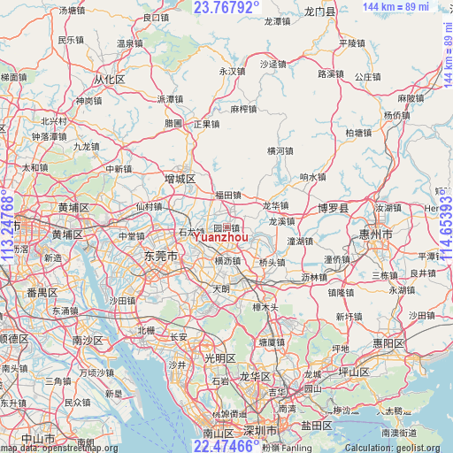
Yuanzhou GPS coordinates[2]
23° 7' 22.26" North, 113° 57' 2.88" East
| Map corner | latitude | longitude |
|---|---|---|
| Upper-left | 23.76792°, | 113.24768° |
| Center: | 23.12285°, | 113.9508° |
| Lower-right: | 22.47466°, | 114.65393° |
| Map W x H: | 143.8×143.8 km | = 89.4×89.4mi |
| max Lat: | 53.31946° ⇑93.8% North |
| Yuanzhou: | 23.12285° |
| min Lat: | ⇓6.2% South 18.22056° |
| min Long | Yuanzhou | max Long |
| 75.07348° | 113.9508° | 134.28917° |
| W 48.3%⇐ | ⇒51.7% E |
Elevation
Elevation of Yuanzhou is 7 m = 23 ft, and this is 477.8 m = 1568 ft below average elevation for this country.
| Max E: |
5622 m = 18445 ft | 94.3% |
| Avg. | 484.8 m = 1591 ft | |
| Yuanzhou | 7 m = 23 ft | |
Min E: |
-3 m = -10 ft | 5.7% |
See also: China elevation on elevation.city.
Geographical zone
Yuanzhou is located in North Torrid zone (between Equator and Tropic of Cancer). Distance of this Northern Tropic circle is 34.9 km =21.7 mi to North.| Distance of | km | miles | from Yuanzhou |
|---|---|---|---|
| North Pole | 7436 | 4620.5 | to North |
| Arctic Circle | 4830.2 | 3001.3 | to North |
| Tropic Cancer | 34.9 | 21.7 | to North |
| Equator | 2571 | 1597.5 | to South |


Nearby cities:
15 places around Yuanzhou: (largest is in red/bold)
• Changning
14.3 km =8.9 mi,  38°
38°
• Changping
16.7 km =10.4 mi,  166°
166°
• Chashan
10.3 km =6.4 mi,  234°
234°
• Dongkeng
14.9 km =9.3 mi,  183°
183°
• Futian
10.5 km =6.5 mi,  2°
2°
• Hengli
10.5 km =6.5 mi, 178°
• Liaobu
15.4 km =9.6 mi,  207°
207°
• Longhua
17.2 km =10.7 mi,  63°
63°
• Longxi
17.6 km =10.9 mi,  82°
82°
• Qishi
9.2 km =5.7 mi,  127°
127°
• Shazhuang
11.9 km =7.4 mi,  275°
275°
• Shijie
16.5 km =10.3 mi,  259°
259°
• Shilong
10.6 km =6.6 mi, 264°
• Shipai
3.9 km =2.4 mi, 184°
• Shiwan
10.2 km =6.3 mi, 280°
Sources, notices
• [Note1] Compared only with cities in China existing in our database
• [Src1] Map data: © OpenStreetMap contributors (CC-BY-SA)
• [Src2] Other city data from geonames.org with taken over terms of usage.
• [Src3] Geographical zone / Annual Mean Temperature by Robert A. Rohde @ Wikipedia
