Yonghe geodata
Yonghe (Guangdong) is a seat of a fourth-order administrative division; located in China in Asia/Shanghai (GMT+8) time zone. In our database, there are 1268 cities with bigger population. Compared to other cities in China, 89.9% of cities are located further ↑North; 58.9% of cities are located further ←West and 53.2% of cities have higher elevation than Yonghe. Note1


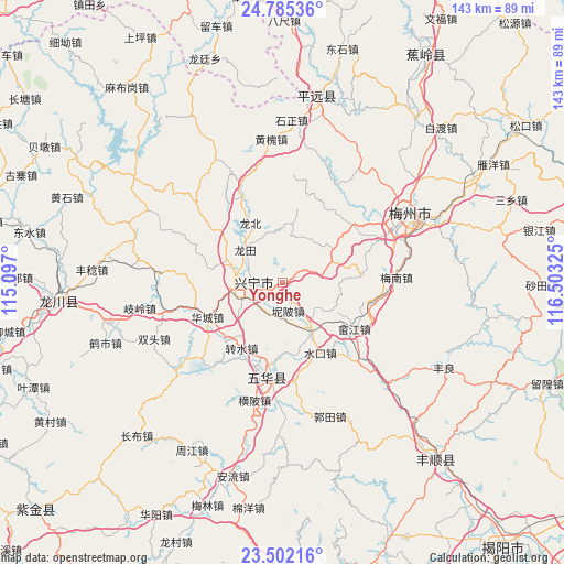
Yonghe GPS coordinates[2]
24° 8' 43.332" North, 115° 48' 0.432" East
| Map corner | latitude | longitude |
|---|---|---|
| Upper-left | 24.78536°, | 115.097° |
| Center: | 24.14537°, | 115.80012° |
| Lower-right: | 23.50216°, | 116.50325° |
| Map W x H: | 142.7×142.7 km | = 88.7×88.7mi |
| max Lat: | 53.31946° ⇑89.9% North |
| Yonghe: | 24.14537° |
| min Lat: | ⇓10.1% South 18.22056° |
| min Long | Yonghe | max Long |
| 75.07348° | 115.80012° | 134.28917° |
| W 58.9%⇐ | ⇒41.1% E |
Elevation
Elevation of Yonghe is 142 m = 466 ft, and this is 342.8 m = 1125 ft below average elevation for this country.
| Max E: |
5622 m = 18445 ft | 53.2% |
| Avg. | 484.8 m = 1591 ft | |
| Yonghe | 142 m = 466 ft | |
Min E: |
-3 m = -10 ft | 46.8% |
See also: China elevation on elevation.city.
Geographical zone
Yonghe is located in North temperate zone (between Tropic of Cancer and the Arctic Circle). Distance of this Northern Tropic circle is 78.8 km =49 mi to South.| Distance of | km | miles | from Yonghe |
|---|---|---|---|
| North Pole | 7322.3 | 4549.9 | to North |
| Arctic Circle | 4716.5 | 2930.7 | to North |
| Tropic Cancer | 78.8 | 49 | to South |
| Equator | 2684.7 | 1668.2 | to South |


Nearby cities:
15 places around Yonghe: (largest is in red/bold)
• Diaofang
7.3 km =4.5 mi,  224°
224°
• Fuxing
8.4 km =5.2 mi,  255°
255°
• Heshui
15.4 km =9.6 mi,  318°
318°
• Jingnan
13.2 km =8.2 mi,  66°
66°
• Libei
3 km =1.9 mi,  198°
198°
• Longtian
12.3 km =7.6 mi,  311°
311°
• Nibei
7.3 km =4.5 mi,  168°
168°
• Ningtang
6.3 km =3.9 mi,  302°
302°
• Ningxin
4.7 km =2.9 mi, 259°
• Ningzhong
5.9 km =3.7 mi,  280°
280°
• Shima
15.9 km =9.9 mi,  9°
9°
• Xinbei
11.3 km =7 mi, 277°
• Xingning
7.9 km =4.9 mi,  272°
272°
• Xinxu
11.9 km =7.4 mi,  146°
146°
• Yetang
15 km =9.3 mi,  291°
291°
Sources, notices
• [Note1] Compared only with cities in China existing in our database
• [Src1] Map data: © OpenStreetMap contributors (CC-BY-SA)
• [Src2] Other city data from geonames.org with taken over terms of usage.
• [Src3] Geographical zone / Annual Mean Temperature by Robert A. Rohde @ Wikipedia
