Yingtou geodata
Yingtou (Shaanxi) is a seat of a fourth-order administrative division; located in China in Asia/Shanghai (GMT+8) time zone. In our database, there are 1268 cities with bigger population. Compared to other cities in China, 70.9% of cities are located further ↓South; 81.4% of cities are located further →East and 81.3% of cities have lower elevation than Yingtou. Note1


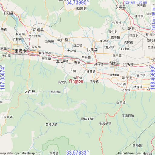
Yingtou GPS coordinates[2]
34° 9' 36.504" North, 107° 45' 13.896" East
| Map corner | latitude | longitude |
|---|---|---|
| Upper-left | 34.73995°, | 107.05074° |
| Center: | 34.16014°, | 107.75386° |
| Lower-right: | 33.57633°, | 108.45699° |
| Map W x H: | 129.4×129.4 km | = 80.4×80.4mi |
| max Lat: | 53.31946° ⇑29.1% North |
| Yingtou: | 34.16014° |
| min Lat: | ⇓70.9% South 18.22056° |
| min Long | Yingtou | max Long |
| 75.07348° | 107.75386° | 134.28917° |
| W 18.6%⇐ | ⇒81.4% E |
Elevation
Elevation of Yingtou is 757 m = 2484 ft, and this is 272.2 m = 893 ft above average elevation for this country.
| Max E: |
5622 m = 18445 ft | 18.7% |
| Yingtou | 757 m 2484 ft | |
| Avg. | 484.8 m = 1591 ft | |
Min E: |
-3 m = -10 ft | 81.3% |
See also: China elevation on elevation.city.
Geographical zone
Yingtou is located in North temperate zone (between Tropic of Cancer and the Arctic Circle). Distance of this Northern Tropic circle is 1192.3 km =740.9 mi to South.| Distance of | km | miles | from Yingtou |
|---|---|---|---|
| North Pole | 6208.8 | 3858 | to North |
| Arctic Circle | 3602.9 | 2238.7 | to North |
| Tropic Cancer | 1192.3 | 740.9 | to South |
| Equator | 3798.3 | 2360.2 | to South |


Nearby cities:
15 places around Yingtou: (largest is in red/bold)
• Anle
10.9 km =6.8 mi,  308°
308°
• Caojia
16.4 km =10.2 mi,  304°
304°
• Changxing
14.4 km =8.9 mi,  31°
31°
• Huaiya
12.1 km =7.5 mi,  64°
64°
• Jiangzhang
19 km =11.8 mi,  54°
54°
• Jinqu
6.2 km =3.9 mi,  21°
21°
• Majia
17.3 km =10.7 mi,  345°
345°
• Qizhen
6.7 km =4.2 mi,  326°
326°
• Shangsong
16.2 km =10.1 mi,  43°
43°
• Shoushan
13.1 km =8.1 mi,  356°
356°
• Tangyu
11 km =6.8 mi,  96°
96°
• Wujing
18.5 km =11.5 mi, 20°
• Wuzhangyuan
18.9 km =11.7 mi,  316°
316°
• Xiaofayi
6.3 km =3.9 mi,  80°
80°
• Yingge
12.1 km =7.5 mi,  233°
233°
Sources, notices
• [Note1] Compared only with cities in China existing in our database
• [Src1] Map data: © OpenStreetMap contributors (CC-BY-SA)
• [Src2] Other city data from geonames.org with taken over terms of usage.
• [Src3] Geographical zone / Annual Mean Temperature by Robert A. Rohde @ Wikipedia
