Yima geodata
Yima (Henan) is a populated place; located in China in Asia/Shanghai (GMT+8) time zone. With population of 82,509 people, there are 517 cities with bigger population in this country. Compared to other cities in China, 74% of cities are located further ↓South; 63.2% of cities are located further →East and 73.4% of cities have lower elevation than Yima. Note1


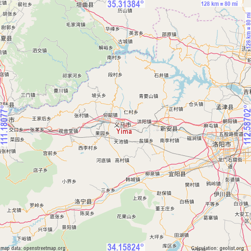
Yima GPS coordinates[2]
34° 44' 17.016" North, 111° 53' 2.004" East
| Map corner | latitude | longitude |
|---|---|---|
| Upper-left | 35.31384°, | 111.18077° |
| Center: | 34.73806°, | 111.88389° |
| Lower-right: | 34.15824°, | 112.58702° |
| Map W x H: | 128.5×128.5 km | = 79.8×79.8mi |
| max Lat: | 53.31946° ⇑26% North |
| Yima: | 34.73806° |
| min Lat: | ⇓74% South 18.22056° |
| min Long | Yima | max Long |
| 75.07348° | 111.88389° | 134.28917° |
| W 36.8%⇐ | ⇒63.2% E |
Elevation
Elevation of Yima is 484 m = 1588 ft, and this is 0.80000000000001 m = 3 ft below average elevation for this country.
| Max E: |
5622 m = 18445 ft | 26.6% |
| Avg. | 484.8 m = 1591 ft | |
| Yima | 484 m = 1588 ft | |
Min E: |
-3 m = -10 ft | 73.4% |
See also: Yima elevation on elevation.city.
Geographical zone
Yima is located in North temperate zone (between Tropic of Cancer and the Arctic Circle). Distance of this Northern Tropic circle is 1256.6 km =780.8 mi to South.| Distance of | km | miles | from Yima |
|---|---|---|---|
| North Pole | 6144.6 | 3818.1 | to North |
| Arctic Circle | 3538.7 | 2198.8 | to North |
| Tropic Cancer | 1256.6 | 780.8 | to South |
| Equator | 3862.5 | 2400 | to South |


Nearby cities:
15 places around Yima: (largest is in red/bold)
• Changzhi
54 km =33.6 mi,  345°
345°
• Daqinglu
66.3 km =41.2 mi,  74°
74°
• Daying
71.4 km =44.4 mi,  268°
268°
• Luoning Chengguanzhen
44.2 km =27.5 mi,  208°
208°
• Luoyang
52.4 km =32.6 mi,  96°
96°
• Mengjin Chengguanzhen
51 km =31.7 mi,  78°
78°
• Mianchi Chengguanzhen
11.5 km =7.1 mi,  278°
278°
• Qianqiu
1.2 km =0.7 mi,  293°
293°
• Shengrenjian
64.3 km =40 mi, 280°
• Shimen
65.5 km =40.7 mi,  331°
331°
• Song Xian Chengguanzhen
69.5 km =43.2 mi,  164°
164°
• Xincheng
65.6 km =40.8 mi,  342°
342°
• Xin’an Chengguanzhen
23.1 km =14.4 mi, 95°
• Yichuan Chengguanzhen
60.5 km =37.6 mi,  125°
125°
• Yiyang Chengguanzhen
35.9 km =22.3 mi, 134°
Sources, notices
• [Note1] Compared only with cities in China existing in our database
• [Src1] Map data: © OpenStreetMap contributors (CC-BY-SA)
• [Src2] Other city data from geonames.org with taken over terms of usage.
• [Src3] Geographical zone / Annual Mean Temperature by Robert A. Rohde @ Wikipedia
