Xincheng geodata
Xincheng (Shanxi) is a seat of a third-order administrative division; located in China in Asia/Shanghai (GMT+8) time zone. In our database, there are 1268 cities with bigger population. Compared to other cities in China, 75.6% of cities are located further ↓South; 64.2% of cities are located further →East and 76.3% of cities have lower elevation than Xincheng. Note1


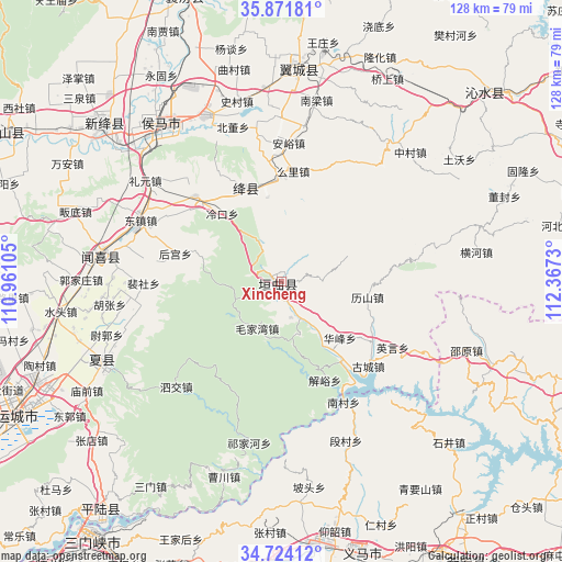
Xincheng GPS coordinates[2]
35° 18' 0" North, 111° 39' 51.012" East
| Map corner | latitude | longitude |
|---|---|---|
| Upper-left | 35.87181°, | 110.96105° |
| Center: | 35.3°, | 111.66417° |
| Lower-right: | 34.72412°, | 112.3673° |
| Map W x H: | 127.6×127.6 km | = 79.3×79.3mi |
| max Lat: | 53.31946° ⇑24.4% North |
| Xincheng: | 35.3° |
| min Lat: | ⇓75.6% South 18.22056° |
| min Long | Xincheng | max Long |
| 75.07348° | 111.66417° | 134.28917° |
| W 35.8%⇐ | ⇒64.2% E |
Elevation
Elevation of Xincheng is 555 m = 1821 ft, and this is 70.2 m = 230 ft above average elevation for this country.
| Max E: |
5622 m = 18445 ft | 23.7% |
| Xincheng | 555 m 1821 ft | |
| Avg. | 484.8 m = 1591 ft | |
Min E: |
-3 m = -10 ft | 76.3% |
See also: China elevation on elevation.city.
Geographical zone
Xincheng is located in North temperate zone (between Tropic of Cancer and the Arctic Circle). Distance of this Northern Tropic circle is 1319.1 km =819.7 mi to South.| Distance of | km | miles | from Xincheng |
|---|---|---|---|
| North Pole | 6082.1 | 3779.2 | to North |
| Arctic Circle | 3476.2 | 2160 | to North |
| Tropic Cancer | 1319.1 | 819.7 | to South |
| Equator | 3925 | 2438.9 | to South |


Nearby cities:
15 places around Xincheng: (largest is in red/bold)
• Beidong
36.8 km =22.9 mi,  342°
342°
• Changzhi
12.2 km =7.6 mi,  146°
146°
• Fengcheng
42.4 km =26.3 mi,  330°
330°
• Gujiang
23.8 km =14.8 mi, 335°
• Hedi
28.1 km =17.5 mi,  277°
277°
• Houcun
31.2 km =19.4 mi,  294°
294°
• Hougong
25 km =15.5 mi, 284°
• Lechang
42 km =26.1 mi, 334°
• Liyuan
38.5 km =23.9 mi,  306°
306°
• Nanjie
35.2 km =21.9 mi, 293°
• Peishe
31.3 km =19.4 mi,  269°
269°
• Shangma
43.5 km =27 mi,  317°
317°
• Shimen
12.1 km =7.5 mi,  246°
246°
• Tongcheng
41.1 km =25.5 mi, 278°
• Xintian
44.6 km =27.7 mi, 321°
Sources, notices
• [Note1] Compared only with cities in China existing in our database
• [Src1] Map data: © OpenStreetMap contributors (CC-BY-SA)
• [Src2] Other city data from geonames.org with taken over terms of usage.
• [Src3] Geographical zone / Annual Mean Temperature by Robert A. Rohde @ Wikipedia
