Xiniu geodata
Xiniu (Guangdong) is a seat of a fourth-order administrative division; located in China in Asia/Shanghai (GMT+8) time zone. In our database, there are 1268 cities with bigger population. Compared to other cities in China, 89.8% of cities are located further ↑North; 56.9% of cities are located further →East and 76.2% of cities have higher elevation than Xiniu. Note1


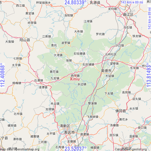
Xiniu GPS coordinates[2]
24° 9' 48.564" North, 113° 6' 42.48" East
| Map corner | latitude | longitude |
|---|---|---|
| Upper-left | 24.80339°, | 112.40868° |
| Center: | 24.16349°, | 113.1118° |
| Lower-right: | 23.52037°, | 113.81493° |
| Map W x H: | 142.7×142.7 km | = 88.7×88.7mi |
| max Lat: | 53.31946° ⇑89.8% North |
| Xiniu: | 24.16349° |
| min Lat: | ⇓10.2% South 18.22056° |
| min Long | Xiniu | max Long |
| 75.07348° | 113.1118° | 134.28917° |
| W 43.1%⇐ | ⇒56.9% E |
Elevation
Elevation of Xiniu is 34 m = 112 ft, and this is 450.8 m = 1479 ft below average elevation for this country.
| Max E: |
5622 m = 18445 ft | 76.2% |
| Avg. | 484.8 m = 1591 ft | |
| Xiniu | 34 m = 112 ft | |
Min E: |
-3 m = -10 ft | 23.8% |
See also: China elevation on elevation.city.
Geographical zone
Xiniu is located in North temperate zone (between Tropic of Cancer and the Arctic Circle). Distance of this Northern Tropic circle is 80.8 km =50.2 mi to South.| Distance of | km | miles | from Xiniu |
|---|---|---|---|
| North Pole | 7320.3 | 4548.6 | to North |
| Arctic Circle | 4714.4 | 2929.4 | to North |
| Tropic Cancer | 80.8 | 50.2 | to South |
| Equator | 2686.7 | 1669.4 | to South |


Nearby cities:
15 places around Xiniu: (largest is in red/bold)
• Dadong
15.5 km =9.6 mi,  196°
196°
• Dawan
26.5 km =16.5 mi,  318°
318°
• Dazhan
29.1 km =18.1 mi,  92°
92°
• HanHuang
11.8 km =7.3 mi,  6°
6°
• Huanghua
22 km =13.7 mi,  283°
283°
• Jiulong
21.1 km =13.1 mi,  262°
262°
• Lianjiangkou
24.5 km =15.2 mi,  124°
124°
• Lixi
28.1 km =17.5 mi,  149°
149°
• Mingjing
21.2 km =13.2 mi, 281°
• Shaba
8.7 km =5.4 mi, 200°
• Shigutang
22.3 km =13.9 mi, 8°
• Shihuipu
16.6 km =10.3 mi,  46°
46°
• Shuibian
9.3 km =5.8 mi,  141°
141°
• Yingcheng
24.9 km =15.5 mi,  75°
75°
• Zhangbei
15.6 km =9.7 mi,  337°
337°
Sources, notices
• [Note1] Compared only with cities in China existing in our database
• [Src1] Map data: © OpenStreetMap contributors (CC-BY-SA)
• [Src2] Other city data from geonames.org with taken over terms of usage.
• [Src3] Geographical zone / Annual Mean Temperature by Robert A. Rohde @ Wikipedia
