Xiaocun geodata
Xiaocun (Shaanxi) is a seat of a fourth-order administrative division; located in China in Asia/Shanghai (GMT+8) time zone. In our database, there are 1268 cities with bigger population. Compared to other cities in China, 71.4% of cities are located further ↓South; 79.6% of cities are located further →East and 71.6% of cities have lower elevation than Xiaocun. Note1


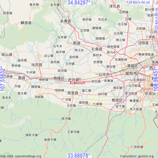
Xiaocun GPS coordinates[2]
34° 15' 49.968" North, 108° 15' 41.184" East
| Map corner | latitude | longitude |
|---|---|---|
| Upper-left | 34.84297°, | 107.55832° |
| Center: | 34.26388°, | 108.26144° |
| Lower-right: | 33.68078°, | 108.96457° |
| Map W x H: | 129.2×129.2 km | = 80.3×80.3mi |
| max Lat: | 53.31946° ⇑28.6% North |
| Xiaocun: | 34.26388° |
| min Lat: | ⇓71.4% South 18.22056° |
| min Long | Xiaocun | max Long |
| 75.07348° | 108.26144° | 134.28917° |
| W 20.4%⇐ | ⇒79.6% E |
Elevation
Elevation of Xiaocun is 442 m = 1450 ft, and this is 42.8 m = 140 ft below average elevation for this country.
| Max E: |
5622 m = 18445 ft | 28.4% |
| Avg. | 484.8 m = 1591 ft | |
| Xiaocun | 442 m = 1450 ft | |
Min E: |
-3 m = -10 ft | 71.6% |
See also: China elevation on elevation.city.
Geographical zone
Xiaocun is located in North temperate zone (between Tropic of Cancer and the Arctic Circle). Distance of this Northern Tropic circle is 1203.9 km =748.1 mi to South.| Distance of | km | miles | from Xiaocun |
|---|---|---|---|
| North Pole | 6197.3 | 3850.8 | to North |
| Arctic Circle | 3591.4 | 2231.6 | to North |
| Tropic Cancer | 1203.9 | 748.1 | to South |
| Equator | 3809.8 | 2367.3 | to South |


Nearby cities:
15 places around Xiaocun: (largest is in red/bold)
• Changning
5 km =3.1 mi,  33°
33°
• Daijia
12.9 km =8 mi,  307°
307°
• Dazhuang
9.2 km =5.7 mi,  262°
262°
• Erqu
13.4 km =8.3 mi,  202°
202°
• Fengyi
13.9 km =8.6 mi,  96°
96°
• Houjia
13.2 km =8.2 mi,  214°
214°
• Jiangcun
14.4 km =8.9 mi,  356°
356°
• Malian
13.4 km =8.3 mi, 29°
• Mawei
11.7 km =7.3 mi,  60°
60°
• Pujijie
3.7 km =2.3 mi, 203°
• Sangzhen
7.8 km =4.8 mi, 96°
• Tangfang
9.7 km =6 mi,  107°
107°
• Wangcun
14.5 km =9 mi,  329°
329°
• Wugong
5.1 km =3.2 mi, 262°
• Zhenyuan
8.8 km =5.5 mi,  320°
320°
Sources, notices
• [Note1] Compared only with cities in China existing in our database
• [Src1] Map data: © OpenStreetMap contributors (CC-BY-SA)
• [Src2] Other city data from geonames.org with taken over terms of usage.
• [Src3] Geographical zone / Annual Mean Temperature by Robert A. Rohde @ Wikipedia
