Laxiong geodata
Laxiong (Qinghai) is a seat of a fourth-order administrative division; located in China in Asia/Shanghai (GMT+8) time zone. In our database, there are 1268 cities with bigger population. Compared to other cities in China, 76.7% of cities are located further ↓South; 92.5% of cities are located further →East and 95.1% of cities have lower elevation than Laxiong. Note1


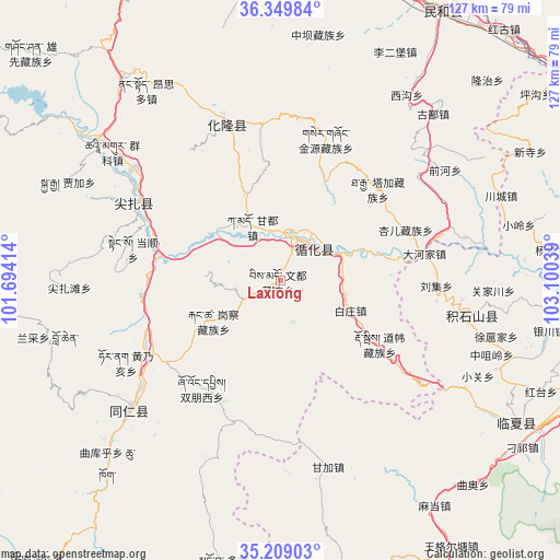
Laxiong GPS coordinates[2]
35° 46' 53.328" North, 102° 23' 50.136" East
| Map corner | latitude | longitude |
|---|---|---|
| Upper-left | 36.34984°, | 101.69414° |
| Center: | 35.78148°, | 102.39726° |
| Lower-right: | 35.20903°, | 103.10039° |
| Map W x H: | 126.8×126.8 km | = 78.8×78.8mi |
| max Lat: | 53.31946° ⇑23.3% North |
| Laxiong: | 35.78148° |
| min Lat: | ⇓76.7% South 18.22056° |
| min Long | Laxiong | max Long |
| 75.07348° | 102.39726° | 134.28917° |
| W 7.5%⇐ | ⇒92.5% E |
Elevation
Elevation of Laxiong is 2176 m = 7139 ft, and this is 1691.2 m = 5549 ft above average elevation for this country.
| Max E: |
5622 m = 18445 ft | 4.9% |
| Laxiong | 2176 m 7139 ft | |
| Avg. | 484.8 m = 1591 ft | |
Min E: |
-3 m = -10 ft | 95.1% |
See also: China elevation on elevation.city.
Geographical zone
Laxiong is located in North temperate zone (between Tropic of Cancer and the Arctic Circle). Distance of this Northern Tropic circle is 1372.6 km =852.9 mi to South.| Distance of | km | miles | from Laxiong |
|---|---|---|---|
| North Pole | 6028.5 | 3745.9 | to North |
| Arctic Circle | 3422.6 | 2126.7 | to North |
| Tropic Cancer | 1372.6 | 852.9 | to South |
| Equator | 3978.5 | 2472.1 | to South |


Nearby cities:
15 places around Laxiong: (largest is in red/bold)
• Baijiaji
30.2 km =18.8 mi,  45°
45°
• Baizhuangji
17.3 km =10.7 mi,  112°
112°
• Dahejia
33 km =20.5 mi,  79°
79°
• Dehenglong
31.3 km =19.4 mi,  313°
313°
• Galengkou
17.9 km =11.1 mi,  239°
239°
• Jishi
10.5 km =6.5 mi, 46°
• Mengdadazhuang
22.6 km =14 mi, 75°
• Sanlanbahai
8.8 km =5.5 mi,  21°
21°
• Shixiang
14.1 km =8.8 mi,  66°
66°
• Shuangpengxi
30.4 km =18.9 mi,  216°
216°
• Tawa
33.6 km =20.9 mi,  198°
198°
• Xiagulei
26.6 km =16.5 mi,  122°
122°
• Xiazhuang
12 km =7.5 mi, 310°
• Yaga
11 km =6.8 mi,  260°
260°
• Yaluhu
13.6 km =8.5 mi,  333°
333°
Sources, notices
• [Note1] Compared only with cities in China existing in our database
• [Src1] Map data: © OpenStreetMap contributors (CC-BY-SA)
• [Src2] Other city data from geonames.org with taken over terms of usage.
• [Src3] Geographical zone / Annual Mean Temperature by Robert A. Rohde @ Wikipedia
