Songcun geodata
Songcun (Shandong) is a seat of a fourth-order administrative division; located in China in Asia/Shanghai (GMT+8) time zone. In our database, there are 1268 cities with bigger population. Compared to other cities in China, 79.4% of cities are located further ↓South; 91.1% of cities are located further ←West and 85.5% of cities have higher elevation than Songcun. Note1


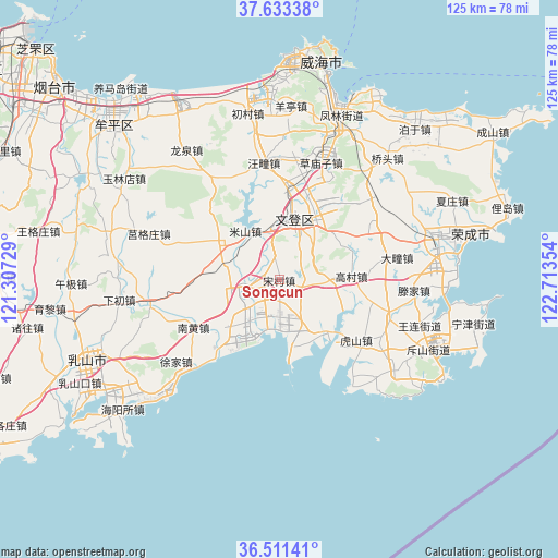
Songcun GPS coordinates[2]
37° 4' 28.092" North, 122° 0' 37.476" East
| Map corner | latitude | longitude |
|---|---|---|
| Upper-left | 37.63338°, | 121.30729° |
| Center: | 37.07447°, | 122.01041° |
| Lower-right: | 36.51141°, | 122.71354° |
| Map W x H: | 124.8×124.8 km | = 77.5×77.5mi |
| max Lat: | 53.31946° ⇑20.6% North |
| Songcun: | 37.07447° |
| min Lat: | ⇓79.4% South 18.22056° |
| min Long | Songcun | max Long |
| 75.07348° | 122.01041° | 134.28917° |
| W 91.1%⇐ | ⇒8.9% E |
Elevation
Elevation of Songcun is 15 m = 49 ft, and this is 469.8 m = 1541 ft below average elevation for this country.
| Max E: |
5622 m = 18445 ft | 85.5% |
| Avg. | 484.8 m = 1591 ft | |
| Songcun | 15 m = 49 ft | |
Min E: |
-3 m = -10 ft | 14.5% |
See also: China elevation on elevation.city.
Geographical zone
Songcun is located in North temperate zone (between Tropic of Cancer and the Arctic Circle). Distance of this Northern Tropic circle is 1516.4 km =942.2 mi to South.| Distance of | km | miles | from Songcun |
|---|---|---|---|
| North Pole | 5884.8 | 3656.6 | to North |
| Arctic Circle | 3278.9 | 2037.4 | to North |
| Tropic Cancer | 1516.4 | 942.2 | to South |
| Equator | 4122.3 | 2561.5 | to South |


Nearby cities:
15 places around Songcun: (largest is in red/bold)
• Dashuipo
24.3 km =15.1 mi,  59°
59°
• Gaocun
16.3 km =10.1 mi,  86°
86°
• Gejia
16.6 km =10.3 mi,  301°
301°
• Heshan
23.9 km =14.9 mi,  12°
12°
• Houjia
9.3 km =5.8 mi,  130°
130°
• Hushan
24.1 km =15 mi,  123°
123°
• Jieshi
25.6 km =15.9 mi,  330°
330°
• Nanhuang
22.1 km =13.7 mi,  241°
241°
• Shangzhuang
25.9 km =16.1 mi,  108°
108°
• Tianfu
21.4 km =13.3 mi, 10°
• Wangtuan
26.2 km =16.3 mi,  353°
353°
• Wendengying
17.3 km =10.7 mi,  27°
27°
• Xiaoguan
16.5 km =10.3 mi,  228°
228°
• Zeku
15.4 km =9.6 mi,  165°
165°
• Zetou
11.2 km =7 mi,  255°
255°
Sources, notices
• [Note1] Compared only with cities in China existing in our database
• [Src1] Map data: © OpenStreetMap contributors (CC-BY-SA)
• [Src2] Other city data from geonames.org with taken over terms of usage.
• [Src3] Geographical zone / Annual Mean Temperature by Robert A. Rohde @ Wikipedia
