Quankou geodata
Quankou (Guizhou) is a seat of a fourth-order administrative division; located in China in Asia/Shanghai (GMT+8) time zone. In our database, there are 1268 cities with bigger population. Compared to other cities in China, 69.3% of cities are located further ↑North; 80.1% of cities are located further →East and 81.7% of cities have lower elevation than Quankou. Note1


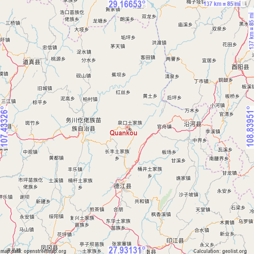
Quankou GPS coordinates[2]
28° 33' 2.628" North, 108° 8' 10.968" East
| Map corner | latitude | longitude |
|---|---|---|
| Upper-left | 29.16653°, | 107.43326° |
| Center: | 28.55073°, | 108.13638° |
| Lower-right: | 27.93131°, | 108.83951° |
| Map W x H: | 137.3×137.3 km | = 85.3×85.3mi |
| max Lat: | 53.31946° ⇑69.3% North |
| Quankou: | 28.55073° |
| min Lat: | ⇓30.7% South 18.22056° |
| min Long | Quankou | max Long |
| 75.07348° | 108.13638° | 134.28917° |
| W 19.9%⇐ | ⇒80.1% E |
Elevation
Elevation of Quankou is 775 m = 2543 ft, and this is 290.2 m = 952 ft above average elevation for this country.
| Max E: |
5622 m = 18445 ft | 18.3% |
| Quankou | 775 m 2543 ft | |
| Avg. | 484.8 m = 1591 ft | |
Min E: |
-3 m = -10 ft | 81.7% |
See also: China elevation on elevation.city.
Geographical zone
Quankou is located in North temperate zone (between Tropic of Cancer and the Arctic Circle). Distance of this Northern Tropic circle is 568.6 km =353.3 mi to South.| Distance of | km | miles | from Quankou |
|---|---|---|---|
| North Pole | 6832.5 | 4245.5 | to North |
| Arctic Circle | 4226.6 | 2626.3 | to North |
| Tropic Cancer | 568.6 | 353.3 | to South |
| Equator | 3174.5 | 1972.5 | to South |


Nearby cities:
15 places around Quankou: (largest is in red/bold)
• Baicun
25.1 km =15.6 mi,  307°
307°
• Banchang
26.3 km =16.3 mi,  120°
120°
• Changfeng
15.3 km =9.5 mi,  199°
199°
• Daping
20.1 km =12.5 mi,  280°
280°
• Duru
24.5 km =15.2 mi,  263°
263°
• Gaoshan
6.4 km =4 mi,  152°
152°
• Guanzhou
20.1 km =12.5 mi,  88°
88°
• Hongsi
19.2 km =11.9 mi,  353°
353°
• Huangtu
21.1 km =13.1 mi,  36°
36°
• Jingjiao
21 km =13 mi,  167°
167°
• Quanba
6.3 km =3.9 mi, 121°
• Shichao
18.3 km =11.4 mi,  210°
210°
• Siqu
23.9 km =14.9 mi,  55°
55°
• Tudi’ao
12.5 km =7.8 mi,  143°
143°
• Zhongzhai
4.4 km =2.7 mi, 39°
Sources, notices
• [Note1] Compared only with cities in China existing in our database
• [Src1] Map data: © OpenStreetMap contributors (CC-BY-SA)
• [Src2] Other city data from geonames.org with taken over terms of usage.
• [Src3] Geographical zone / Annual Mean Temperature by Robert A. Rohde @ Wikipedia
