Yongle geodata
Yongle (Sichuan) is a seat of a third-order administrative division; located in China in Asia/Shanghai (GMT+8) time zone. In our database, there are 1268 cities with bigger population. Compared to other cities in China, 67.2% of cities are located further ↓South; 90% of cities are located further →East and 90.6% of cities have lower elevation than Yongle. Note1


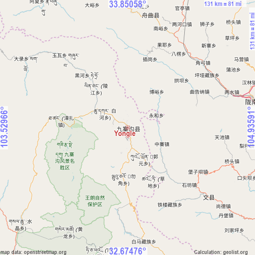
Yongle GPS coordinates[2]
33° 15' 52.74" North, 104° 13' 58.008" East
| Map corner | latitude | longitude |
|---|---|---|
| Upper-left | 33.85058°, | 103.52966° |
| Center: | 33.26465°, | 104.23278° |
| Lower-right: | 32.67476°, | 104.93591° |
| Map W x H: | 130.7×130.7 km | = 81.2×81.2mi |
| max Lat: | 53.31946° ⇑32.8% North |
| Yongle: | 33.26465° |
| min Lat: | ⇓67.2% South 18.22056° |
| min Long | Yongle | max Long |
| 75.07348° | 104.23278° | 134.28917° |
| W 10%⇐ | ⇒90% E |
Elevation
Elevation of Yongle is 1416 m = 4646 ft, and this is 931.2 m = 3055 ft above average elevation for this country.
| Max E: |
5622 m = 18445 ft | 9.4% |
| Yongle | 1416 m 4646 ft | |
| Avg. | 484.8 m = 1591 ft | |
Min E: |
-3 m = -10 ft | 90.6% |
See also: China elevation on elevation.city.
Geographical zone
Yongle is located in North temperate zone (between Tropic of Cancer and the Arctic Circle). Distance of this Northern Tropic circle is 1092.8 km =679 mi to South.| Distance of | km | miles | from Yongle |
|---|---|---|---|
| North Pole | 6308.4 | 3919.9 | to North |
| Arctic Circle | 3702.5 | 2300.6 | to North |
| Tropic Cancer | 1092.8 | 679 | to South |
| Equator | 3698.7 | 2298.3 | to South |


Nearby cities:
15 places around Yongle: (largest is in red/bold)
• Baleng
46.1 km =28.6 mi,  34°
34°
• Baoziba
43.2 km =26.8 mi,  118°
118°
• Boyu
23.8 km =14.8 mi,  38°
38°
• Chagang
36.8 km =22.9 mi,  16°
16°
• Chigan
45.9 km =28.5 mi, 25°
• Danian
41.2 km =25.6 mi,  63°
63°
• Gongba
36.8 km =22.9 mi,  48°
48°
• Maying
22.3 km =13.9 mi,  129°
129°
• Sanjiaoping
46.5 km =28.9 mi, 23°
• Shifang
42.9 km =26.7 mi, 132°
• Shijiba
30 km =18.6 mi,  137°
137°
• Tieba
37.3 km =23.2 mi,  73°
73°
• Tielou
45.3 km =28.1 mi,  151°
151°
• Wuping
41.6 km =25.8 mi,  13°
13°
• Zhongzhai
19.2 km =11.9 mi, 115°
Sources, notices
• [Note1] Compared only with cities in China existing in our database
• [Src1] Map data: © OpenStreetMap contributors (CC-BY-SA)
• [Src2] Other city data from geonames.org with taken over terms of usage.
• [Src3] Geographical zone / Annual Mean Temperature by Robert A. Rohde @ Wikipedia
