Ganlu geodata
Ganlu (Jiangxi) is a seat of a fourth-order administrative division; located in China in Asia/Shanghai (GMT+8) time zone. In our database, there are 1268 cities with bigger population. Compared to other cities in China, 62.6% of cities are located further ↑North; 58.6% of cities are located further ←West and 77.7% of cities have higher elevation than Ganlu. Note1


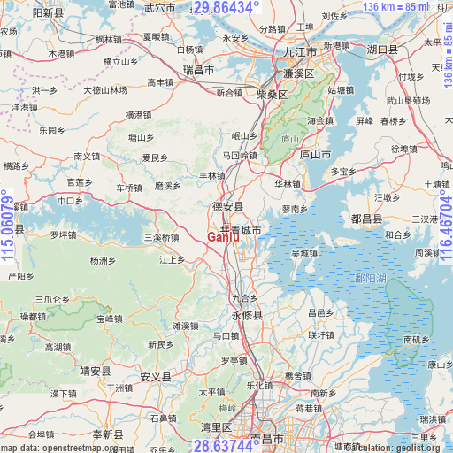
Ganlu GPS coordinates[2]
29° 15' 9.828" North, 115° 45' 50.076" East
| Map corner | latitude | longitude |
|---|---|---|
| Upper-left | 29.86434°, | 115.06079° |
| Center: | 29.25273°, | 115.76391° |
| Lower-right: | 28.63744°, | 116.46704° |
| Map W x H: | 136.4×136.4 km | = 84.8×84.8mi |
| max Lat: | 53.31946° ⇑62.6% North |
| Ganlu: | 29.25273° |
| min Lat: | ⇓37.4% South 18.22056° |
| min Long | Ganlu | max Long |
| 75.07348° | 115.76391° | 134.28917° |
| W 58.6%⇐ | ⇒41.4% E |
Elevation
Elevation of Ganlu is 31 m = 102 ft, and this is 453.8 m = 1489 ft below average elevation for this country.
| Max E: |
5622 m = 18445 ft | 77.7% |
| Avg. | 484.8 m = 1591 ft | |
| Ganlu | 31 m = 102 ft | |
Min E: |
-3 m = -10 ft | 22.3% |
See also: China elevation on elevation.city.
Geographical zone
Ganlu is located in North temperate zone (between Tropic of Cancer and the Arctic Circle). Distance of this Northern Tropic circle is 646.7 km =401.8 mi to South.| Distance of | km | miles | from Ganlu |
|---|---|---|---|
| North Pole | 6754.5 | 4197.1 | to North |
| Arctic Circle | 4148.6 | 2577.8 | to North |
| Tropic Cancer | 646.7 | 401.8 | to South |
| Equator | 3252.6 | 2021.1 | to South |


Nearby cities:
15 places around Ganlu: (largest is in red/bold)
• Baicha
17.8 km =11.1 mi,  244°
244°
• Baota
8 km =5 mi,  352°
352°
• Fenglin
16.2 km =10.1 mi,  343°
343°
• Gaotang
18 km =11.2 mi,  3°
3°
• Hedong
9.5 km =5.9 mi, 1°
• Hengtang
15.8 km =9.8 mi,  48°
48°
• Jiangyi
4.6 km =2.9 mi,  169°
169°
• Jiaotang
16.8 km =10.4 mi,  67°
67°
• Jinhu
6.4 km =4 mi, 50°
• Meitang
13.2 km =8.2 mi,  266°
266°
• Puting
8.8 km =5.5 mi,  355°
355°
• Qiujin
12.4 km =7.7 mi,  221°
221°
• Sujiadang
10.8 km =6.7 mi,  76°
76°
• Yanfang
6.9 km =4.3 mi, 242°
• Zequan
11.3 km =7 mi, 45°
Sources, notices
• [Note1] Compared only with cities in China existing in our database
• [Src1] Map data: © OpenStreetMap contributors (CC-BY-SA)
• [Src2] Other city data from geonames.org with taken over terms of usage.
• [Src3] Geographical zone / Annual Mean Temperature by Robert A. Rohde @ Wikipedia
