Mapeng geodata
Mapeng (Jiangsu) is a seat of a fourth-order administrative division; located in China in Asia/Shanghai (GMT+8) time zone. In our database, there are 1268 cities with bigger population. Compared to other cities in China, 65.5% of cities are located further ↓South; 78.3% of cities are located further ←West and 97.2% of cities have higher elevation than Mapeng. Note1


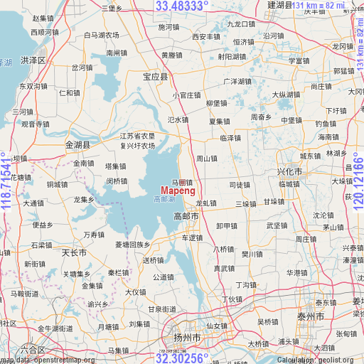
Mapeng GPS coordinates[2]
32° 53' 41.676" North, 119° 25' 6.708" East
| Map corner | latitude | longitude |
|---|---|---|
| Upper-left | 33.48333°, | 118.71541° |
| Center: | 32.89491°, | 119.41853° |
| Lower-right: | 32.30256°, | 120.12166° |
| Map W x H: | 131.3×131.3 km | = 81.6×81.6mi |
| max Lat: | 53.31946° ⇑34.5% North |
| Mapeng: | 32.89491° |
| min Lat: | ⇓65.5% South 18.22056° |
| min Long | Mapeng | max Long |
| 75.07348° | 119.41853° | 134.28917° |
| W 78.3%⇐ | ⇒21.7% E |
Elevation
Elevation of Mapeng is 5 m = 16 ft, and this is 479.8 m = 1574 ft below average elevation for this country.
| Max E: |
5622 m = 18445 ft | 97.2% |
| Avg. | 484.8 m = 1591 ft | |
| Mapeng | 5 m = 16 ft | |
Min E: |
-3 m = -10 ft | 2.8% |
See also: China elevation on elevation.city.
Geographical zone
Mapeng is located in North temperate zone (between Tropic of Cancer and the Arctic Circle). Distance of this Northern Tropic circle is 1051.7 km =653.5 mi to South.| Distance of | km | miles | from Mapeng |
|---|---|---|---|
| North Pole | 6349.5 | 3945.4 | to North |
| Arctic Circle | 3743.6 | 2326.2 | to North |
| Tropic Cancer | 1051.7 | 653.5 | to South |
| Equator | 3657.6 | 2272.7 | to South |


Nearby cities:
15 places around Mapeng: (largest is in red/bold)
• Cheluo
20.1 km =12.5 mi,  171°
171°
• Gaoyou
11.9 km =7.4 mi, 169°
• Gaoyou
14.2 km =8.8 mi,  158°
158°
• Guoji
23.5 km =14.6 mi,  201°
201°
• Huying
19.9 km =12.4 mi,  7°
7°
• Longqiu
11.4 km =7.1 mi,  129°
129°
• Minqiao
23.5 km =14.6 mi,  272°
272°
• Sanduo
24.1 km =15 mi,  110°
110°
• Situ
20.5 km =12.7 mi,  91°
91°
• Taji
25.1 km =15.6 mi,  283°
283°
• Wangying
17.8 km =11.1 mi,  31°
31°
• Xiejia
22 km =13.7 mi, 132°
• Yigou
14.3 km =8.9 mi,  136°
136°
• Zhoushan
12.2 km =7.6 mi,  44°
44°
• Zhouxiang
18.9 km =11.7 mi,  48°
48°
Sources, notices
• [Note1] Compared only with cities in China existing in our database
• [Src1] Map data: © OpenStreetMap contributors (CC-BY-SA)
• [Src2] Other city data from geonames.org with taken over terms of usage.
• [Src3] Geographical zone / Annual Mean Temperature by Robert A. Rohde @ Wikipedia
