Longgang geodata
Longgang (Chongqing) is a seat of a fourth-order administrative division; located in China in Asia/Shanghai (GMT+8) time zone. In our database, there are 1268 cities with bigger population. Compared to other cities in China, 57.5% of cities are located further ↑North; 87.8% of cities are located further →East and 67.9% of cities have lower elevation than Longgang. Note1


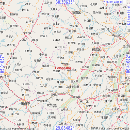
Longgang GPS coordinates[2]
29° 41' 50.784" North, 105° 42' 49.284" East
| Map corner | latitude | longitude |
|---|---|---|
| Upper-left | 30.30635°, | 105.01057° |
| Center: | 29.69744°, | 105.71369° |
| Lower-right: | 29.08482°, | 106.41682° |
| Map W x H: | 135.8×135.8 km | = 84.4×84.4mi |
| max Lat: | 53.31946° ⇑57.5% North |
| Longgang: | 29.69744° |
| min Lat: | ⇓42.5% South 18.22056° |
| min Long | Longgang | max Long |
| 75.07348° | 105.71369° | 134.28917° |
| W 12.2%⇐ | ⇒87.8% E |
Elevation
Elevation of Longgang is 375 m = 1230 ft, and this is 109.8 m = 360 ft below average elevation for this country.
| Max E: |
5622 m = 18445 ft | 32.1% |
| Avg. | 484.8 m = 1591 ft | |
| Longgang | 375 m = 1230 ft | |
Min E: |
-3 m = -10 ft | 67.9% |
See also: China elevation on elevation.city.
Geographical zone
Longgang is located in North temperate zone (between Tropic of Cancer and the Arctic Circle). Distance of this Northern Tropic circle is 696.1 km =432.5 mi to South.| Distance of | km | miles | from Longgang |
|---|---|---|---|
| North Pole | 6705 | 4166.3 | to North |
| Arctic Circle | 4099.1 | 2547.1 | to North |
| Tropic Cancer | 696.1 | 432.5 | to South |
| Equator | 3302 | 2051.8 | to South |


Nearby cities:
15 places around Longgang: (largest is in red/bold)
• Baoding
7.2 km =4.5 mi,  37°
37°
• Baoxing
8.7 km =5.4 mi,  193°
193°
• Gaoping
16.6 km =10.3 mi,  344°
344°
• Gaosheng
13.3 km =8.3 mi,  279°
279°
• Huilong
14.8 km =9.2 mi,  76°
76°
• Jinshan
16.6 km =10.3 mi,  102°
102°
• Longshui
15.4 km =9.6 mi,  162°
162°
• Sanqu
10.9 km =6.8 mi,  235°
235°
• Shima
13.5 km =8.4 mi,  123°
123°
• Shuangshan
17.7 km =11 mi, 38°
• Tangxiang
1.1 km =0.7 mi,  60°
60°
• Wugui
14.1 km =8.8 mi,  16°
16°
• Xiaolin
16.7 km =10.4 mi,  53°
53°
• Zhifeng
8.3 km =5.2 mi,  125°
125°
• Zhong’ao
8.8 km =5.5 mi,  328°
328°
Sources, notices
• [Note1] Compared only with cities in China existing in our database
• [Src1] Map data: © OpenStreetMap contributors (CC-BY-SA)
• [Src2] Other city data from geonames.org with taken over terms of usage.
• [Src3] Geographical zone / Annual Mean Temperature by Robert A. Rohde @ Wikipedia
