Lixin geodata
Lixin (Fujian) is a seat of a fourth-order administrative division; located in China in Asia/Shanghai (GMT+8) time zone. In our database, there are 1268 cities with bigger population. Compared to other cities in China, 79.3% of cities are located further ↑North; 64.2% of cities are located further ←West and 71.7% of cities have lower elevation than Lixin. Note1


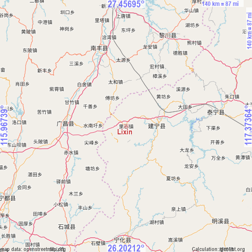
Lixin GPS coordinates[2]
26° 49' 52.572" North, 116° 40' 13.836" East
| Map corner | latitude | longitude |
|---|---|---|
| Upper-left | 27.45695°, | 115.96739° |
| Center: | 26.83127°, | 116.67051° |
| Lower-right: | 26.20212°, | 117.37364° |
| Map W x H: | 139.5×139.5 km | = 86.7×86.7mi |
| max Lat: | 53.31946° ⇑79.3% North |
| Lixin: | 26.83127° |
| min Lat: | ⇓20.7% South 18.22056° |
| min Long | Lixin | max Long |
| 75.07348° | 116.67051° | 134.28917° |
| W 64.2%⇐ | ⇒35.8% E |
Elevation
Elevation of Lixin is 444 m = 1457 ft, and this is 40.8 m = 134 ft below average elevation for this country.
| Max E: |
5622 m = 18445 ft | 28.3% |
| Avg. | 484.8 m = 1591 ft | |
| Lixin | 444 m = 1457 ft | |
Min E: |
-3 m = -10 ft | 71.7% |
See also: China elevation on elevation.city.
Geographical zone
Lixin is located in North temperate zone (between Tropic of Cancer and the Arctic Circle). Distance of this Northern Tropic circle is 377.4 km =234.5 mi to South.| Distance of | km | miles | from Lixin |
|---|---|---|---|
| North Pole | 7023.7 | 4364.3 | to North |
| Arctic Circle | 4417.8 | 2745.1 | to North |
| Tropic Cancer | 377.4 | 234.5 | to South |
| Equator | 2983.4 | 1853.8 | to South |


Nearby cities:
15 places around Lixin: (largest is in red/bold)
• Anyuan
28.3 km =17.6 mi,  178°
178°
• Changqiao
25.9 km =16.1 mi,  269°
269°
• Dushang
17.9 km =11.1 mi,  152°
152°
• Fufang
17.5 km =10.9 mi,  334°
334°
• Hedong
17.6 km =10.9 mi,  88°
88°
• Huangbu
10.1 km =6.3 mi,  189°
189°
• Huangfang
26.5 km =16.5 mi,  51°
51°
• Jianfeng
21.2 km =13.2 mi,  245°
245°
• Junkou
22.9 km =14.2 mi, 147°
• Kefang
15.1 km =9.4 mi,  213°
213°
• Qianshan
22.8 km =14.2 mi,  299°
299°
• Shuinanxu
18.4 km =11.4 mi, 271°
• Suicheng
16.4 km =10.2 mi, 87°
• Taihe
25.3 km =15.7 mi,  346°
346°
• Xikou
16.1 km =10 mi,  84°
84°
Sources, notices
• [Note1] Compared only with cities in China existing in our database
• [Src1] Map data: © OpenStreetMap contributors (CC-BY-SA)
• [Src2] Other city data from geonames.org with taken over terms of usage.
• [Src3] Geographical zone / Annual Mean Temperature by Robert A. Rohde @ Wikipedia
